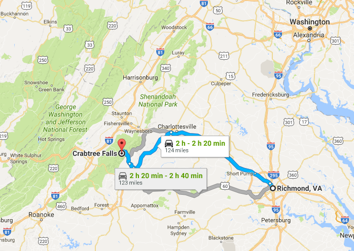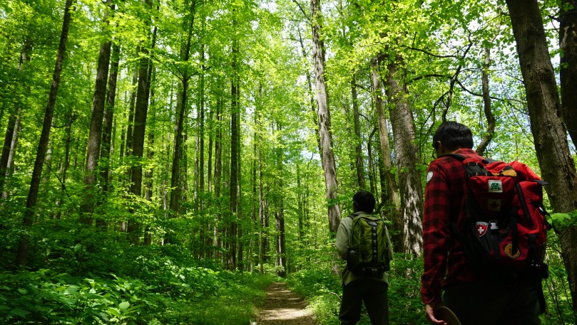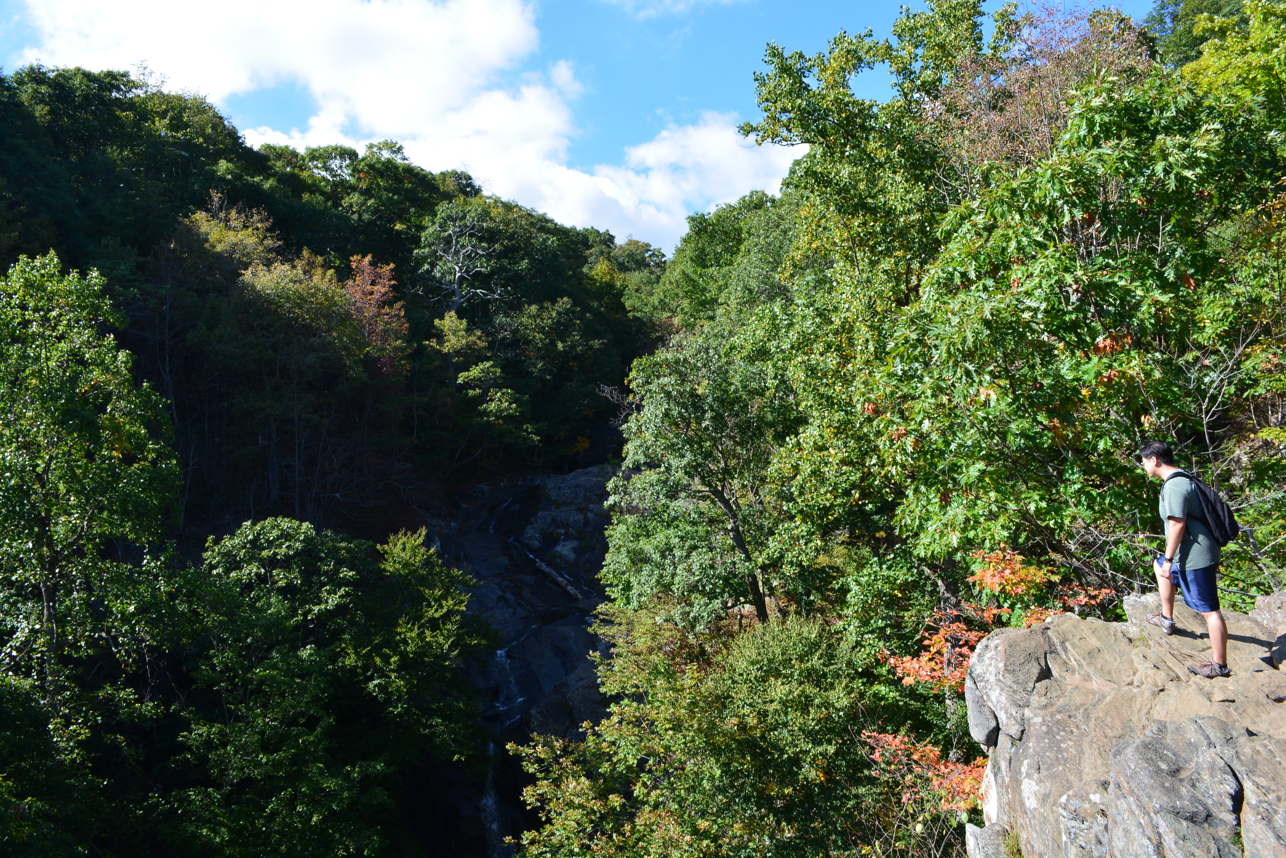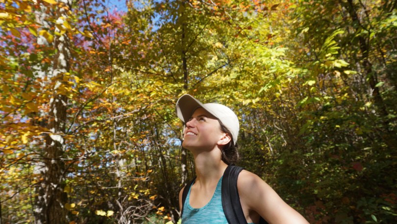

Fall is the busiest time along Skyline Drive and the Blue Ridge Parkway in Virginia, and it’s easy to see why. The crisp mountain air and the gorgeous colors have us strapping on our hiking boots as much as possible. This last impromptu hike was actually suggested by our friends. They are preparing for a trek through Patagonia and wanted to get some good hikes in to build endurance. They suggested a trail I had never been on, the Rip Rap Trail Loop in Shenandoah National Park. A strenuous 9.8 mile that starts at Wildcat Ridge, then meets up with the Rip Rap Trail to finish the loop. We entered the park through the familiar Rockfish Gap Entrance and parked in the Wildcat Ridge Parking Area.


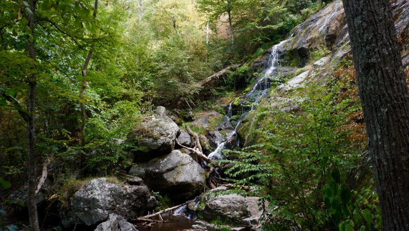
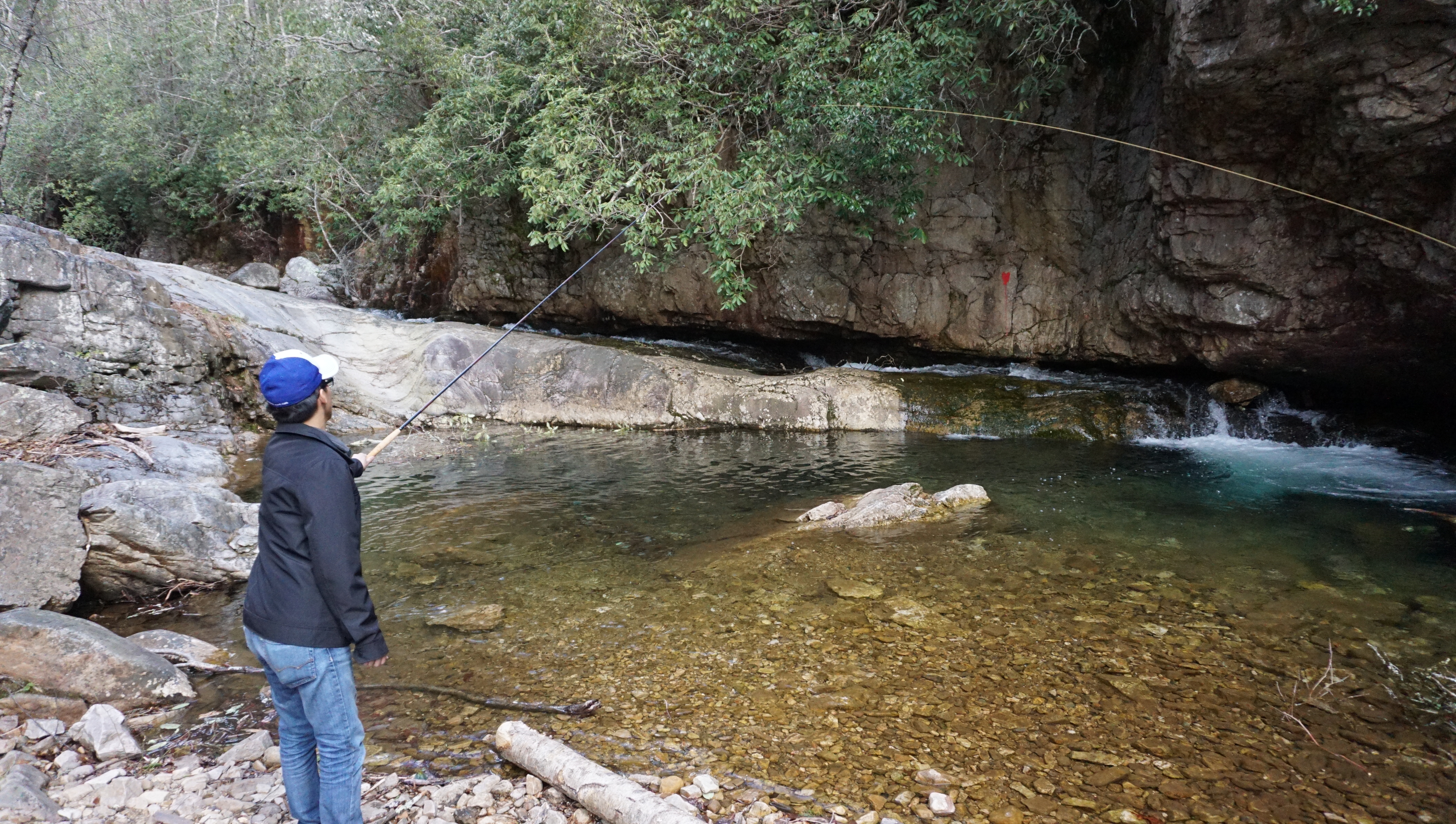
The initial trail is a moderate descent down into the valley where we traveled along side the mountain stream known as Meadow Run. We crossed the streams several times and before beginning our ascent up to Chimney Rock. I would say that the first half of this hike is much prettier than the second half. I am partial however to hiking along the gentle streams as they meander through the valley. This hike is known for it’s beautiful watering hole at the bottom of the valley where two streams merge into one 50ft long watering hole. I’ll try to come back one day in the summer to camp and swim at this location. Peak fall colors seemed to arrive later than ever this year, attributable to the much warmer temperatures we have seen over the past years.

I often worry about how climate change will impact the fragile environment around us. This would mean hotter summers, longer mosquito seasons, a harsher environment for the brook trout that thrive in cold mountain streams. In Canada the effects can already be seen with ticks on the rise, as they are able to establish more stable populations in the increasingly warmer climates.
For those that have not seen it, Leonardo DiCaprio released his documentary “Before the Flood” last week. It highlights climate change and the barriers we face as a planet in addressing this pressing matter. I highly recommend this film to everyone. I thank DiCaprio for his efforts in raising awareness about global warming, an issue that affects us all.