Beach Safety & Trip Planning

When school lets out, summer has officially begun! For many families, this means more trips to the beach! The ocean is a magical and fun place for all ages and attracts thousands of visitors each year. After countless trips to the beaches of the east coast, I’ve become more attuned to the safety precautions that everyone should be aware of prior to going to the beach, especially with their children. It is estimated that over 4000 people drown each year in the United States. It is estimated that 100 people drown each year due to rip currents along the beaches of the United States. Here are some of the things I’ve learned over the years and I hope they are helpful to anyone beach tripping on the east coast.

Tropical Storm Ernesto brought swells to Virginia Beach, Virginia. August 2024.
Swell from Hurricane Franklin 2023

CONDITIONS AND TIME OF YEAR

Simply being aware of the time of year and the weather conditions can greatly improve safety. Hurricane season on the east coast runs from June 1 – November 30. During this time, it is important to pay attention to weather updates, as systems and storms can bring significant swells to your beach. if you are considering a water outing and wish to avoid waves altogether, you could always find beaches or water ways that do not face the ocean. (Ex. bays, rivers). In these areas, you could have almost wave-less conditions. Perfect for children to play and explore.
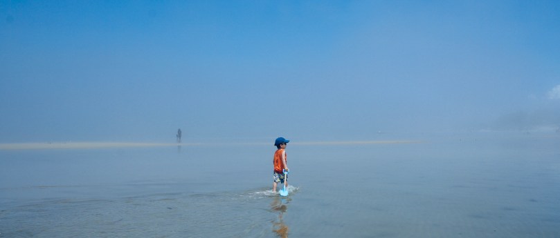
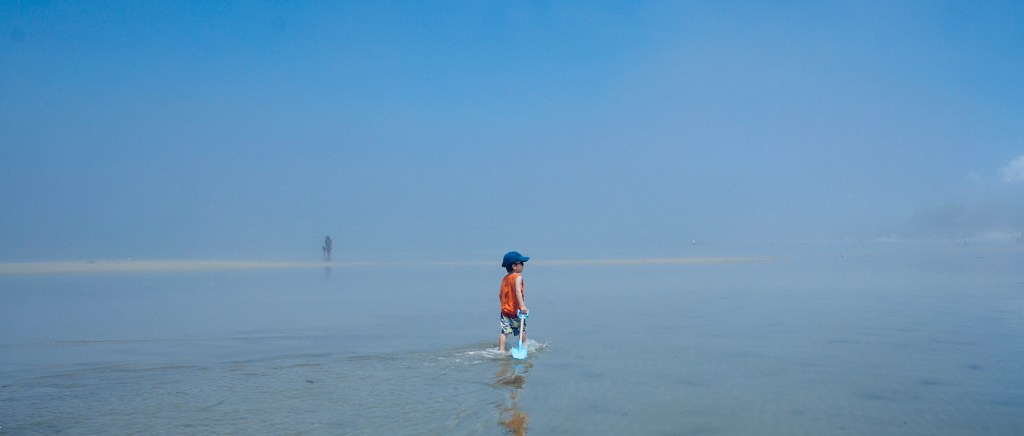
Cape Charles is a beach town in Virginia’s Eastern Shore. It faces the Chesapeake Bay and hence has very calm waters. A good beach spot if you have little ones.
There’s also plenty to see and do in the town of Cape Charles.
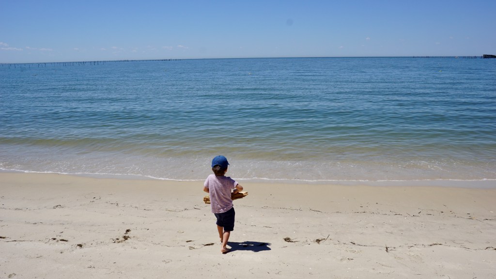
Kiptopeke State Park is located on the Chesapeake Bay in Virginia’s Eastern shore. The water is much calmer than the ocean front.
Nagshead, Outerbanks. The barrier islands of the Outerbanks in North Carolina, face the ocean so the surf and waves here can be strong, so beware.
The surf can be rough but beautiful to watch in the Outerbanks of North Carolina.

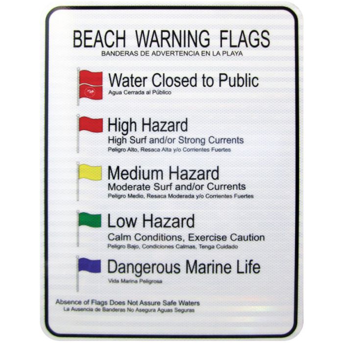
BEACH FLAGS

**If you venture to the beach, you should KNOW the beach flags and what they mean.**
RIP CURRENTS

“Rip currents are powerful, narrow channels of fast-moving water that are prevalent along the East, Gulf, and West coasts of the U.S., as well as along the shores of the Great Lakes.” – National Ocean Service

Unless you know what you are looking for, rip currents are almost invisible.

It is estimated that approximately 100 people are killed each year in the United States by rip currents. So if you’re heading to the beach, just take the next few minutes to learn about them, to protect yourself and your family. The video below provides a great summary of rip currents are.

BEACH SAFETY TIPS

1. Communication and Supervision: For little toddlers and kids that have not yet learn to swim, it is critical that they are supervised closely by an adult. When multiple adults are present, it is easy to assume that the kids are being watched by someone. Practice closed loop communication and assign an adult to a child. You can switch on and off as needed.
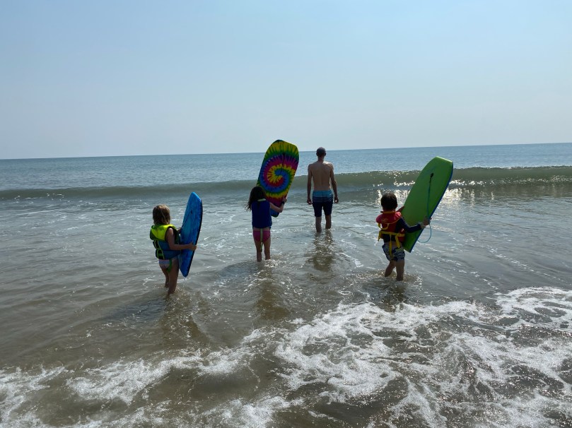
2. Life Jackets/Personal Floatation Devices (PFDs): We don’t go near the water without them. Make sure that the life jacket is the appropriate size for the child. Also, you should also see if the life jacket works properly. Ideally, the jacket should keep the child afloat with their face upward, out of the water. Some jackets, are not balanced well, and could dangerously leave the child facing downward. Test it out prior to use.

Personal Floatation Devices (PFD)s for kids are a must.

3. Bring the water to them:

For my toddlers that are not yet ocean worthy, I’ll bring the water to them. Using a simple tarp, you can dig a shallow pool in the sand and fill it with ocean water.
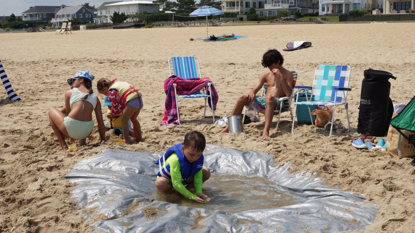
You can make a mini pool in the sand using a tarp.

4. Staying comfortable and hydrated

When the body is comfortable, hydrated and fed, the brain is perfused, and this allows you to think clearly and stay alert. Hydration is important, especially when you are active, sweating and losing a lot of water from the heat. It can be particularly difficult to keep kids hydrated, especially when they are having so much fun. I find that low sugar, flavored drinks can keep them drinking without the need for encouragement. Popsicles are also a good way to keep them hydrated.

A shady base camp on a hot summer day is invaluable. Not only will it keep occupants cooled, but it will also provide shade for your food, drinks and equipment. Over the years we’ve tried all different forms of shelters. From beach umbrellas to cabanas, but so far my favorite has to be the Neso tents for shade. They provide an ample area and are pretty sturdy. Another popular brand is the Shibumi beach shades which have taken all beaches by storm. The Neso can run around $150 and the Shibumis are around $250. Totally worth it, if you’re a frequent beach goer.

The Neso tents provide a large area of shade. They just require a bit of time to set up.

SUMMARY

The beach is one of my favorite places in the world. It is a great way to connect with nature, unwind and engage in countless, fun activities. I hope this helps you to plan your next beach trip, so it can be a safe and enjoyable time for everyone.
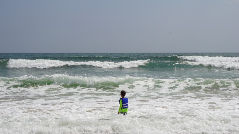
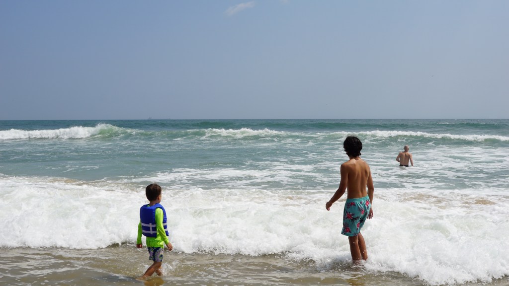
Body surfing in swells from Ernesto

Last day of Summer

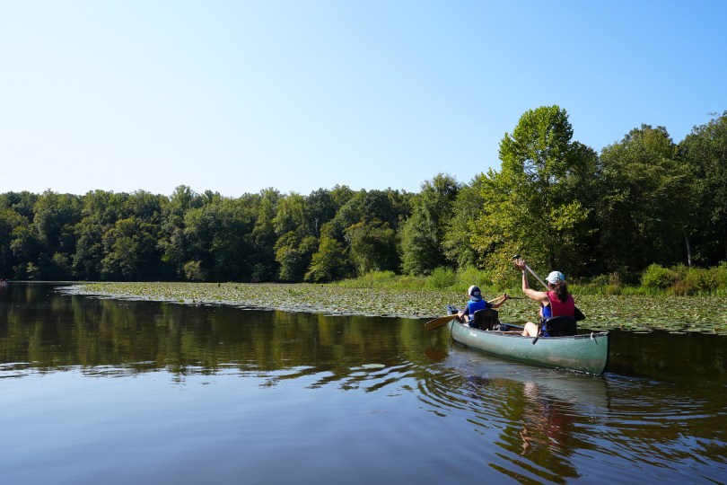
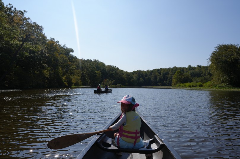
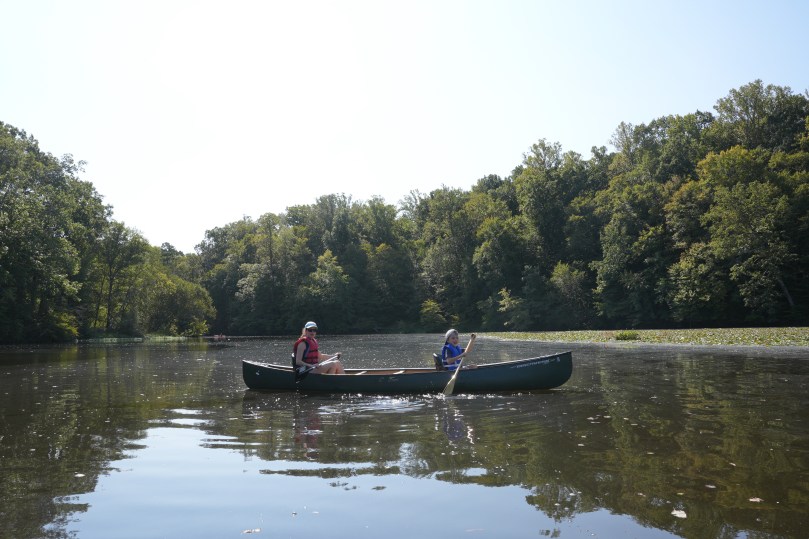
I hope everyone had an amazing summer. We closed the season off with a paddle around Swift Creek Lake in Pocahontas State Park. This particular location is one of our favorite spots to paddle with the kids. The water is shallow, there is plenty of wildlife and it is very quiet and peaceful. This is where they learned how to paddle and this is where my son used his homemade canoe paddle for the first time. Thanks for everything summer 2024 you’ve been a great one. Wishing everyone a safe, healthy and happy fall. Load up on your vitamin D before winter!

Here we go
Looking for water lily blooms
Swift Creek Lake
Chillin in the shade after the paddle
This lake is also where we tested my son’s canoe paddle for the first time many years ago.

Machicomoco State Park – “A Special Meeting Place”

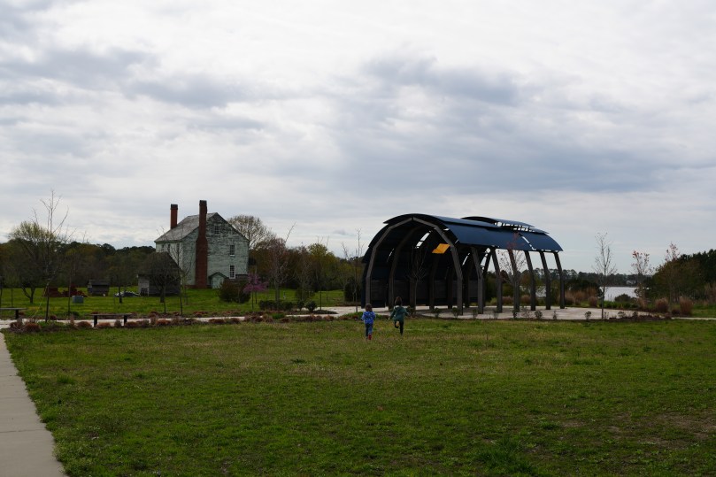
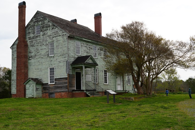
Virginia’s 40th state park is certainly a special one. It is the first one dedicated to all of the tributes of the First Nations people (Native Americans) of Virginia. The park spans a beautiful 645 acres and overlooks the mighty York River, in Gloucester County, Virginia. The heart of the park, is an interpretive area which centers around a timeline and an open-air structure that resembles a longhouse. The time-line follows the history of the first humans and first nations tribes of Virginia. A visit through the park will quickly reveal why it is so aptly named “Machicomoco”, (A special meeting place in Algonquian).

The interpretive area, overlooks the mighty York River. In the background is the Timberneck house.

The park provides a bounty of outdoor experiences. It is a wonderful place to canoe, kayak or paddleboard. Bike trails and hiking trails are also laid out very neatly. There are nearly 200 bird species in the area to view and enjoy.

The Timberneck house, currently undergoing it’s restoration.
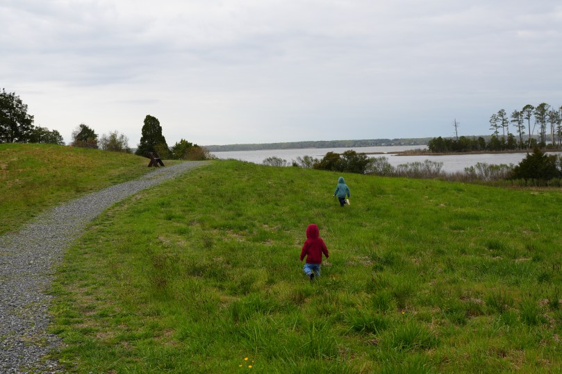
A windy, chilly spring day. The kids were too excited to be cold.
The York River

During spring break, we spent a week in Gloucester County and made a day trip to visit this newer Virginia State Park. We spent most of our time at the interpretive area and then followed the interpretive trail to the water. Along the way, there is the Timberneck house that is currently undergoing restoration. It sounds like the goals for the restoration will be to provide lodging options for visitors, and a place to host events and workshops to get people involved with hands-on archaeology and preservation.

My visit to this state park was especially meaningful and serendipitous. I have been reading a fascinating book called “Braiding Sweetgrass” written by Potawatomi professor Dr. Robin Wall Kimmerer. She also serves as the director of the Center for Native Peoples and the Environment at the State University of New York College of Environmental Science and Forestry. (SUNY-ESF). The book is a series of short stories as she explores the reciprocal relationships between humans, trees and plants. I am particularly interested in her view as she bridges the connection between the spiritual world of First Nations people and the scientific world. She bridges this connection with beautiful stories that meld traditions, spirit and assesses them from a scientific standpoint. A true joy to read and would recommend to anyone who spends anytime outside.

We took our time walking through the interpretive trail, looking at native american symbology, looking at the wildlife, and picking wildflowers. The wind in the open field made for a chilly spring day, but the kids were excited to march on. This would be a wonderful place to put in the ol canoe and possibly get closer to those great egrets. If you’re looking for a place to meet with a friend, family member or just a place to think…..this is a special place.

Photos taken with Sony a6700 (tamron 28-75mm lens)

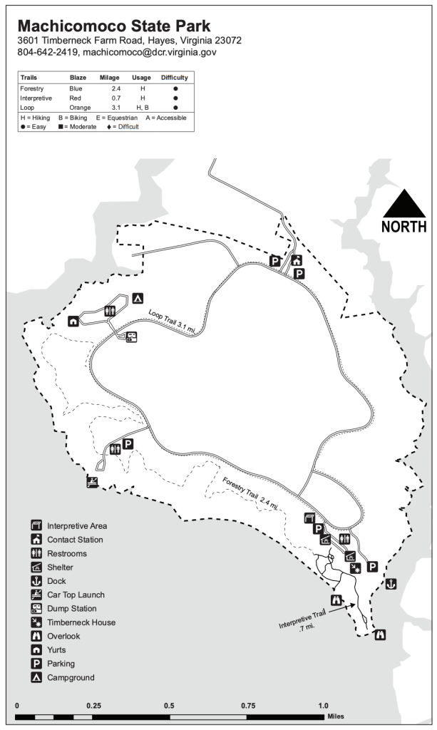
Trail map for Machicomoco State Park.

Things to bring:

  1. water bottles
  2. sunscreen
  3. bug spray (spray your ankles to prevent ticks)
  4. hiking shoes/boots are helpful
  5. camera
  6. binoculars for bird watching

*Remember to be safe. Stay healthy everyone!

Winter hike at Lake Anna State Park – President’s Day.

Recommend taking either 64 or 95 as far as you can. The backroads are a bit winding.

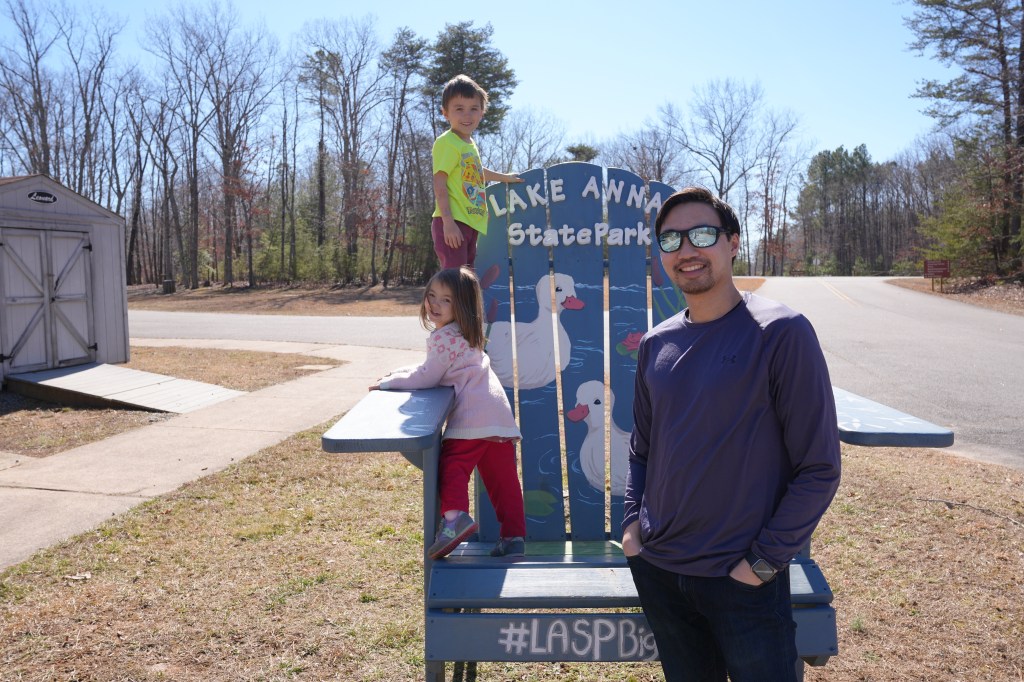
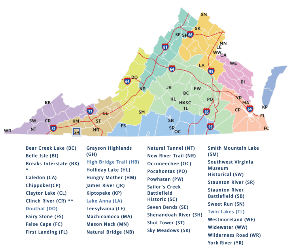
2/19/2024: President’s Day 2024, my brother and I took this opportunity to take my two oldest kids to a new state park for them to explore: Lake Anna State Park in Spotsylvania, County. It was a very mild winter day with a high of 55F and full sun, we made the journey up northwest approximately 1.15 hours drive north of Richmond, Virginia. There are numerous ways to get there, but I think the easiest would be through 64 west. Some of the alternate routes may suggest the back roads however they can be very twisting and not very relaxing.

Map of Lake Anna State Park

We were one of the first ones to arrive and the kids were excited as soon as we reached the visitors center. Their excitement peaked when we saw the sparkling, diamond reflection of the 13,000 acre lake. The park boasts more than 15 miles of trails. Upon arrival, the kids took the opportunity to play on the playground and empty beach. In the heart of winter, I always find the sight of an empty beach to be calming and reassuring. We decided to take on the short 1.4 mile Railroad Ford Trail which took us in a loop at one of the parks projections. It is a popular hike for children, with bridges, ponds, streams and little elevation climb.

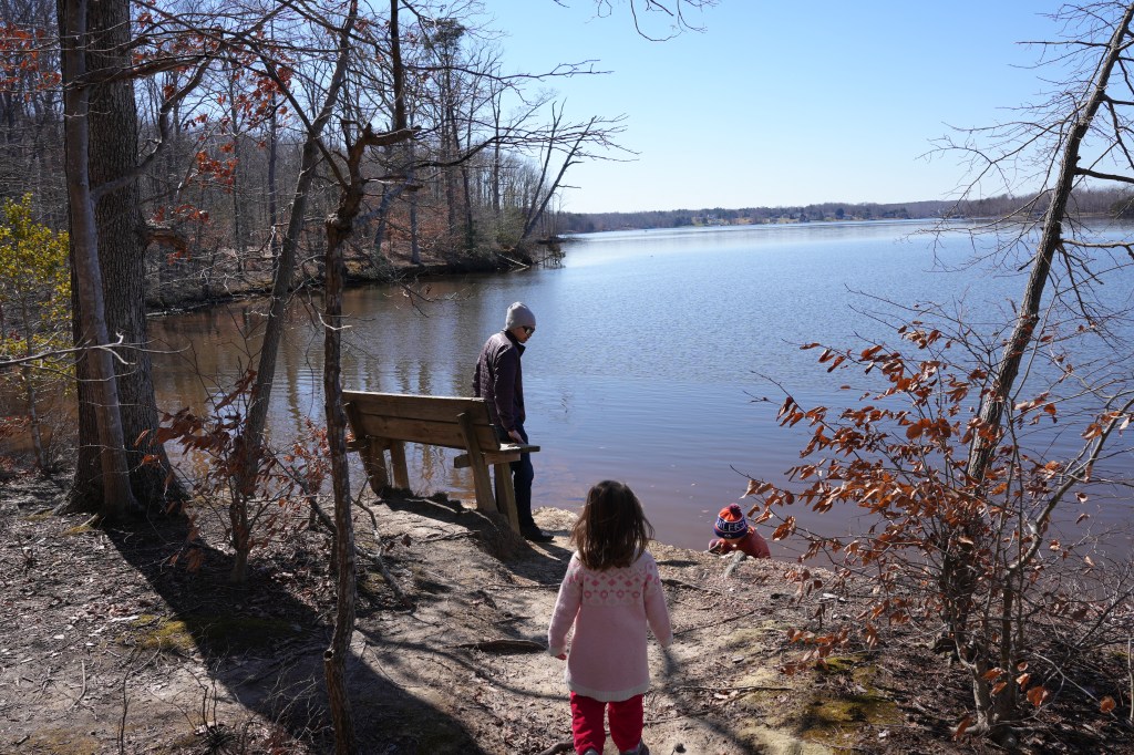
Winter Hike in Lake Anna State Park
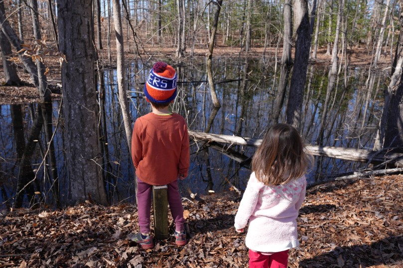
Observing a dark colored pond in Lake Anna State park

As we approached the end of the trail, we gathered some kindling to brew some hot chocolate for the kids at one of the grills at the picnic station. I used the Eagle 1.5L Camping Kettle made in Norway, this little thing is fantastic.The kids left with smiles on their faces and all of the energy well spent. Overall, a success of a day. Happy President’s Day everyone. Please be safe and healthy out there. (Spring is almost here, start thinking of trees/flowers/plants that you wish to plant).

There are 42 state parks in Virginia. We’ve been to 9 of them. We’re getting there! All photos were taken on a Sony a6700.

Horizons of the Outer Banks, North Carolina

The Outer banks, a string of barrier islands off the mainland from North Carolina is a slice of heaven. We come here every year. I was lucky enough to be able to spend two weeks here this past summer. Here are some of my favorite shots of the horizons of the Outerbanks. Shot on Sony a6000.

Beach in Nagshead
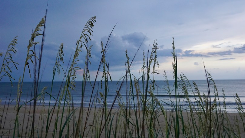
Nagshead
6:00am, Nagshead
Finished for the day
Sunset
Crimson
Storm approaches
Town of Nagshead

Cape Charles – Eastern Shore, Virginia

The Eastern Shore of Virginia is separated from the mainland of Virginia by the Chesapeake Bay. This 70-mile long stretch of sandy and deep soil terrain is a peninsula with over 78,000 acres of protected parks, refuges and preserves and a national seashore. The region’s tourism affirms “You’ll Love Our Nature”.

Many travel by golf carts in Cape Charles. Several of the houses even have parking spots
for them.
Admiring the local art
This town loves Yellow Roses, for good reason too

Cape Charles is a small town, at the southern tip of the eastern shore, with a population of 1009 (2010 census) yet it boasts a vibrant, historic downtown, beaches, restaurants and a quaint and charming scene. I love communities by the ocean. There is something carefree about being able to here’s something about being able to smell the ocean while walking through neighborhoods that puts you in a carefree mood. The slow pace of the town, follows the cadence of the gentle waves that roll in from the bay – the beaches are very kid-friendly for this reason. The beach faces west toward the Chesapeake Bay and hence has very flat water, it is protected from the Atlantic Ocean.

Between the reflection of the water, the clouds and the parallels…..sometimes it’s hard to figure out where you are!
Virginia is for lovers.
Lots to discover at the beach

With a newborn in tow, we couldn’t ride the golf carts. But bicycling was even better for the kids. The quiet town had plenty of sidewalks for the kids to zip through safely. There were lots to see, ice cream shops, gift stores, restaurants and history. Central Park in the heart of the historic district was a place that we frequented for its large field and playground area.

Our last full day was spent exploring Kiptopeke State Park, located at the southern tip of The Eastern Shore. It was an easy 15 minute drive to the park entrance. This state park is known for it’s migratory bird watching, beaches and The Concrete Fleet, several concrete ships that were partially sunk to create the Kiptopeke Breakwater. During World War II, 24 concrete ships were contracted by the U.S. Maritime Commission, in 1948, 9 of these ships were brought to Kiptopeke to protect the ferry terminal during severe thunderstorms. The Chesapeake Bay Bridge Tunnel was open in 1964 and the terminal was no longer needed. The concrete ships are still in place to serve as a break water for the beaches.
Balancing on shone driftwood in kiptopeke state park. In the distance the concrete fleet stands guard.
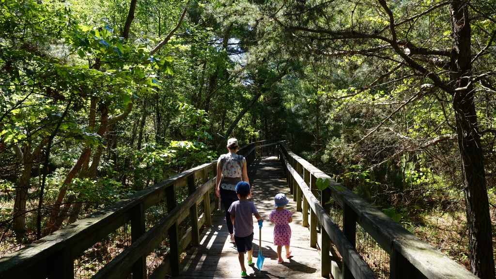
The shaded boardwalk leading to the beach is a pleasant hike.
Board walk to the beach.

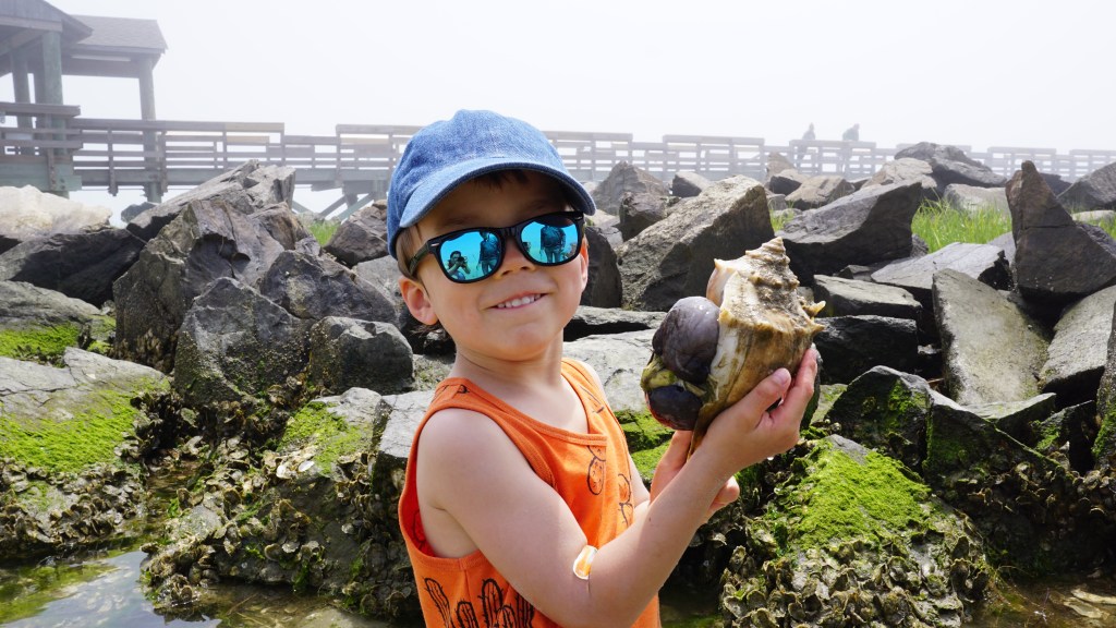
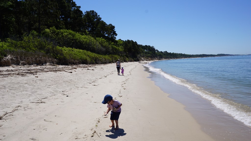
A 0.3 mile board walk through the shaded beach forest takes you to the beach. We arrived in the early morning, and had the beach to ourselves. We spotted a nice shaded area along the tree line some ways away. It was a bit of a hike to get to, but was pleasant and the kids collected shells along the way. The water was clear and the views were great.

Heading to the shade
Testing the buoyancy of some driftwood
A shell paradise

Before we knew it, our 5 days were up. There was much to still see of the eastern shore. Alas, Tangier and Chincoteague Islands will have to wait for another trip. We explored only the southern tip of the eastern shore, and it was pretty awesome.

Voyageur Quest (Algonquin Park) by David Hartman

My favorite adventure, documentary filmmaker, David Hartman recently released this cool promo video he created for a company called Voyageur Quest in Algonquin Park, Ontario. Located in the remote Northwest corner of Algonquin Park, the company offers visitors a chance to stay at a cabin completely off the grid. They offer activities and lodging throughout the year for visitors to experience all that Algonquin has to offer. The video does an amazing job capturing the beauty and atmosphere of Algonquin Park. I have camped in Algonquin Park numerous times in my childhood and recently took a weeklong canoe trip with my brother in August 2014. Itching to go back.

Check out more of David’s work at his website: Hayfire Media.

The Path of Grey Owl – a Goh Iromoto film

This film by Goh Iromoto sheds light on the remarkable story of Grey Owl (Archibald Belaney), an Englishman who chose to take on the identity of a member of the First Nations people in Ontario, Canada. He was most noted for his work as a conservationist, protecting animals such as the beaver that were essential in maintaining the forests and landscapes in Ontario. Evidence of his work as a conservationist still remains today in Canada. This video also showcases the beauty of the boreal land in Temagami, Ontario, a place I was fortunate enough to experience on our canoe trip in August 2015. Itching to go back.

Save the Boundary Waters (A Year in the Wilderness)

“Dave and Amy Freeman will embark on a yearlong adventure in the Boundary Waters Canoe Area Wilderness in support of the Campaign to Save the Boundary Waters’ efforts to protect the Boundary Waters from proposed sulfide-ore copper mining on the Wilderness edge. The two will travel more than 3,000 miles by canoe and dog team as they explore more than 500 lakes and streams throughout the year. The journey will begin on September 23, 2015, the fall equinox, on the edge of the Boundary Waters in Ely, Minnesota, and conclude with a paddle along the proposed sulfide-ore copper mining’s path of pollution through the Boundary Waters and Voyageurs National Park. In 2014, Dave and Amy traveled by canoe and sailboat from Ely to Washington, DC, on the Paddle to DC as a first step in their efforts to protect the Wilderness.” – savetheboundarywaters.org

Please help show your support for the boundary waters by visiting the website and signing their petition. Mining affects many of our great canoeing regions. This reminds me of the Temagami region in Ontario and the pressure that mining companies constantly exert on our pristine wilderness areas. What’s unique to the BWCA is the special place it holds in the hearts of many of the American veterans. It serves as a healing place for many of these veterans and is the least we can do as a country to protect it for them.