

The Eastern Shore of Virginia is separated from the mainland of Virginia by the Chesapeake Bay. This 70-mile long stretch of sandy and deep soil terrain is a peninsula with over 78,000 acres of protected parks, refuges and preserves and a national seashore. The region’s tourism affirms “You’ll Love Our Nature”.

for them.


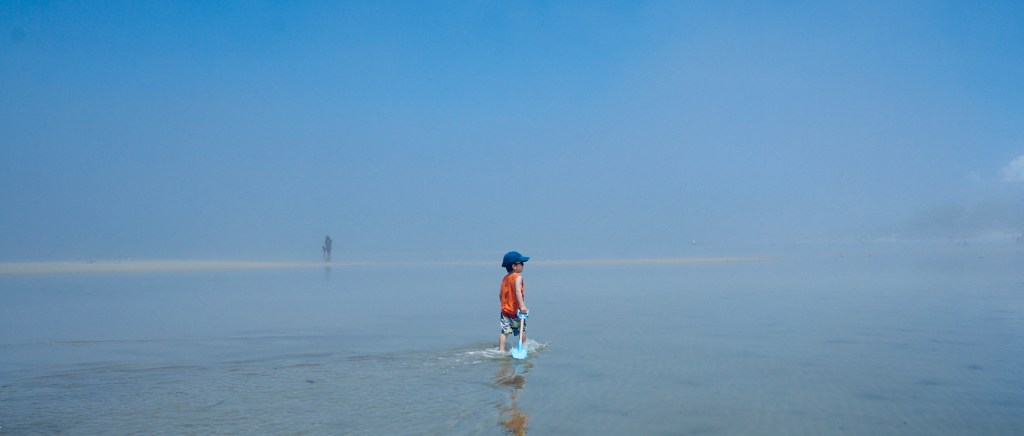
Cape Charles is a small town, at the southern tip of the eastern shore, with a population of 1009 (2010 census) yet it boasts a vibrant, historic downtown, beaches, restaurants and a quaint and charming scene. I love communities by the ocean. There is something carefree about being able to here’s something about being able to smell the ocean while walking through neighborhoods that puts you in a carefree mood. The slow pace of the town, follows the cadence of the gentle waves that roll in from the bay – the beaches are very kid-friendly for this reason. The beach faces west toward the Chesapeake Bay and hence has very flat water, it is protected from the Atlantic Ocean.

With a newborn in tow, we couldn’t ride the golf carts. But bicycling was even better for the kids. The quiet town had plenty of sidewalks for the kids to zip through safely. There were lots to see, ice cream shops, gift stores, restaurants and history. Central Park in the heart of the historic district was a place that we frequented for its large field and playground area.


Our last full day was spent exploring Kiptopeke State Park, located at the southern tip of The Eastern Shore. It was an easy 15 minute drive to the park entrance. This state park is known for it’s migratory bird watching, beaches and The Concrete Fleet, several concrete ships that were partially sunk to create the Kiptopeke Breakwater. During World War II, 24 concrete ships were contracted by the U.S. Maritime Commission, in 1948, 9 of these ships were brought to Kiptopeke to protect the ferry terminal during severe thunderstorms. The Chesapeake Bay Bridge Tunnel was open in 1964 and the terminal was no longer needed. The concrete ships are still in place to serve as a break water for the beaches.


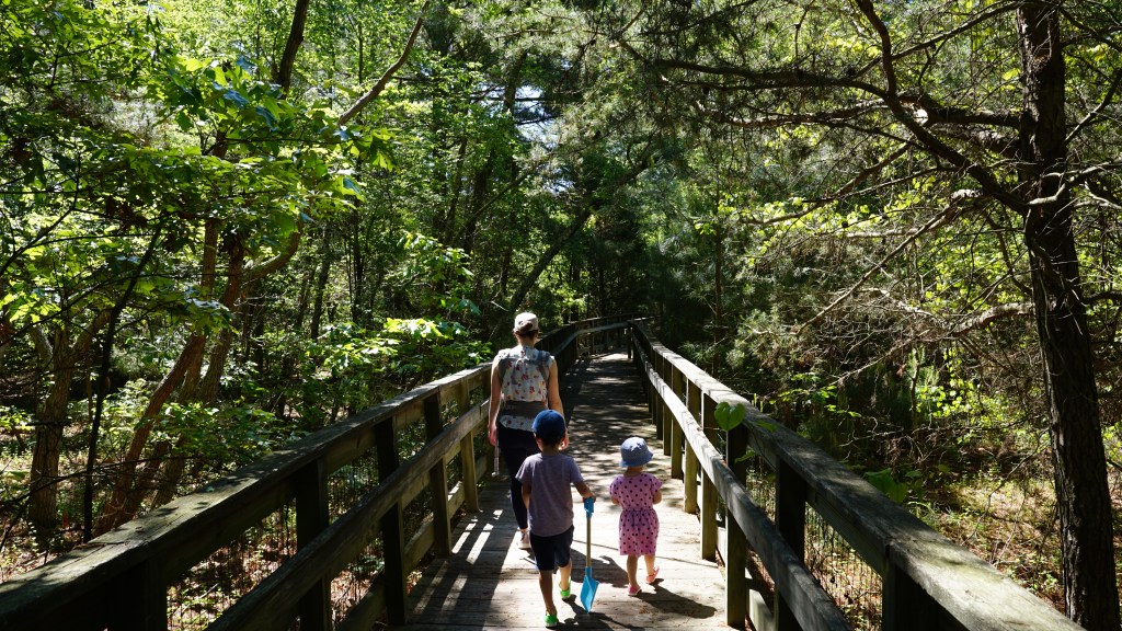
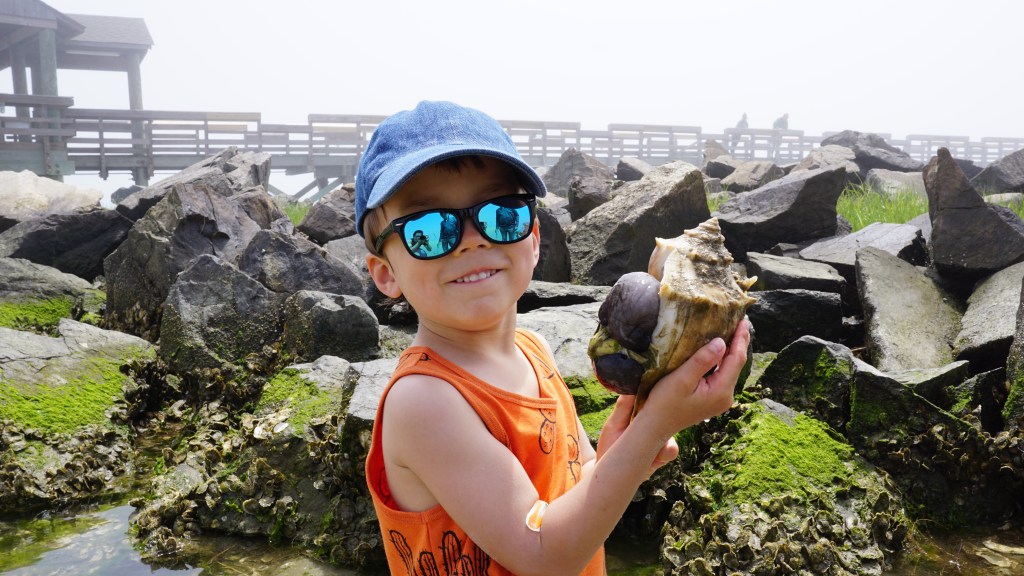
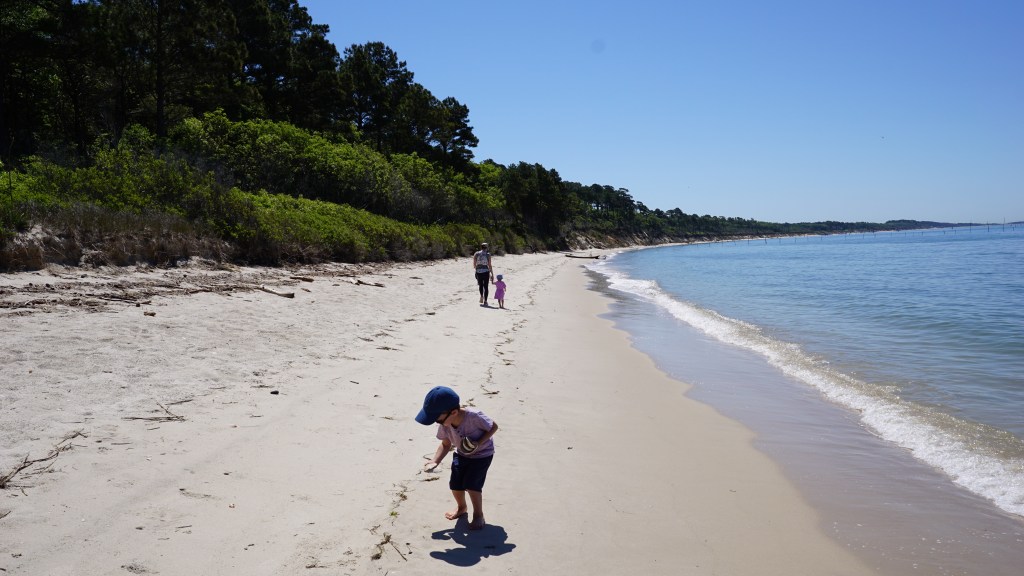
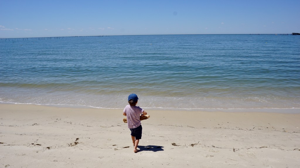
A 0.3 mile board walk through the shaded beach forest takes you to the beach. We arrived in the early morning, and had the beach to ourselves. We spotted a nice shaded area along the tree line some ways away. It was a bit of a hike to get to, but was pleasant and the kids collected shells along the way. The water was clear and the views were great.

Before we knew it, our 5 days were up. There was much to still see of the eastern shore. Alas, Tangier and Chincoteague Islands will have to wait for another trip. We explored only the southern tip of the eastern shore, and it was pretty awesome.

A lot of Thanks for sharing the “Trips Advice Tips” !!
LikeLike
Ah, your beautiful family is growing. Thanks for taking me along on the adventure.
LikeLike