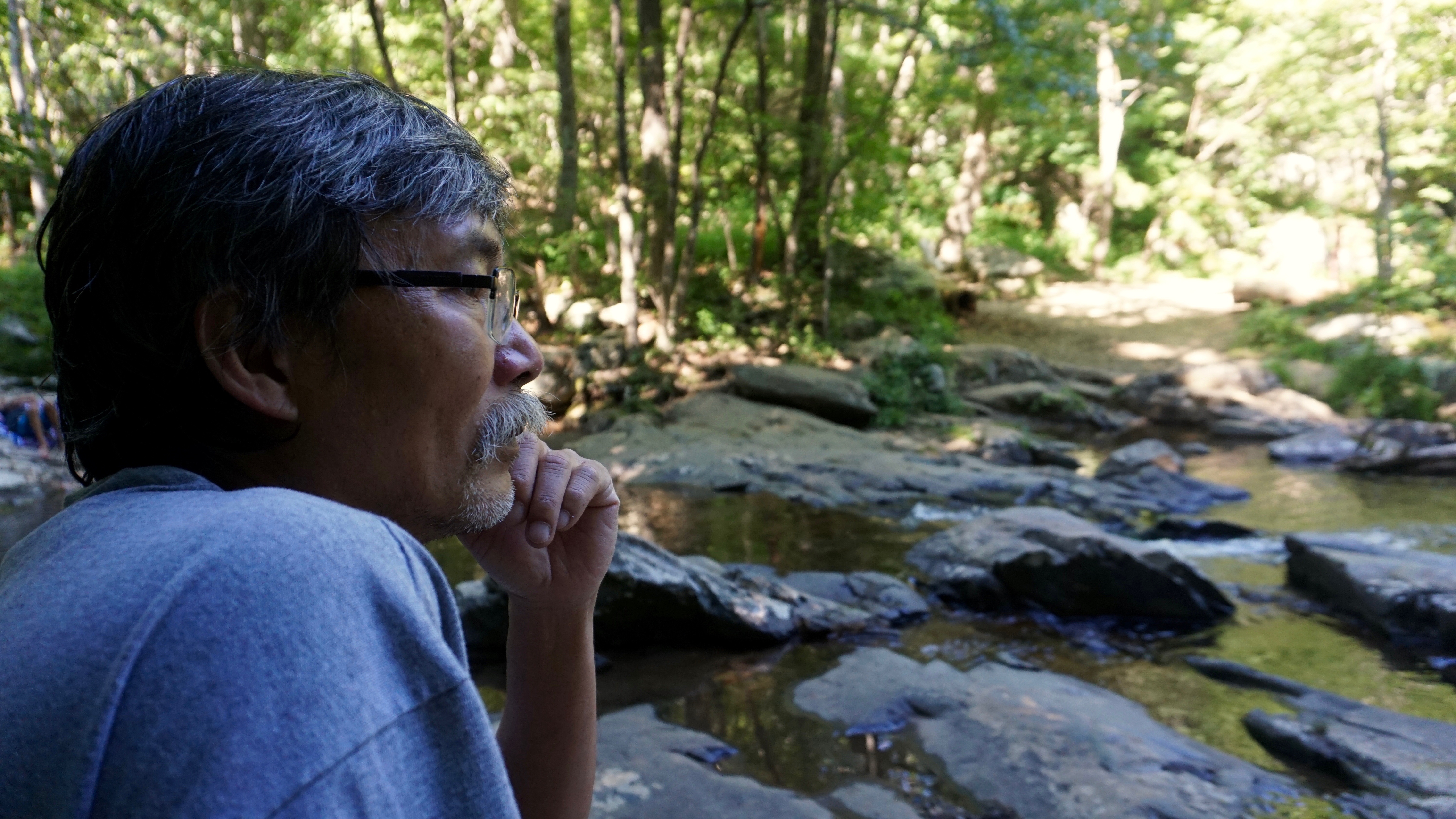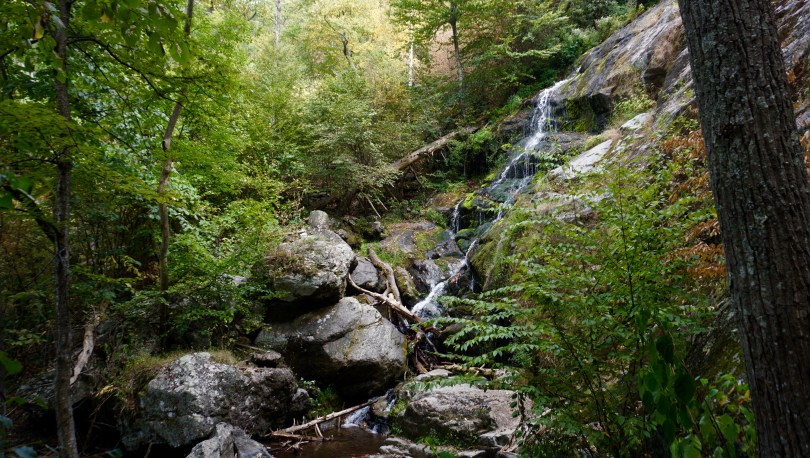
Some of my most vivid memories as a child are from family camping trips. I remember the first time my father rented a canoe and took us onto Mew Lake in Algonquin Park in Ontario. We camped there for a several nights and had a blast. I took it all in. The novelty of camp gear was fascinating to me. Camp stoves, chairs, and axes – nothing out of the ordinary, but these pieces of gear allowed us to live comfortably in the thick of the wilderness. I remember being awe-struck by the natural world of Ontario in the peak of summer. The days were long, the bugs were out, and the lake was teeming with life. The feel of a slick lily pad as you dip your hands through the cool clear waters. Such memories have lasted a lifetime for me.
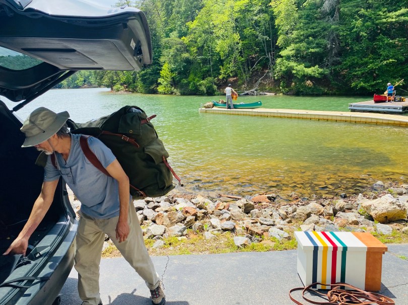
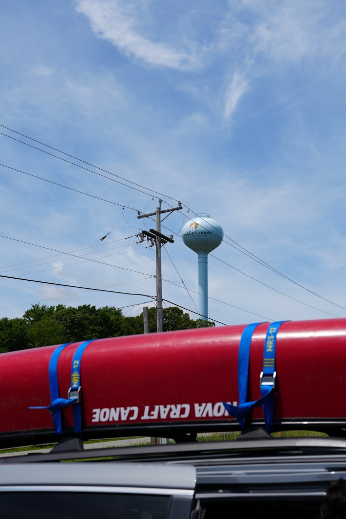
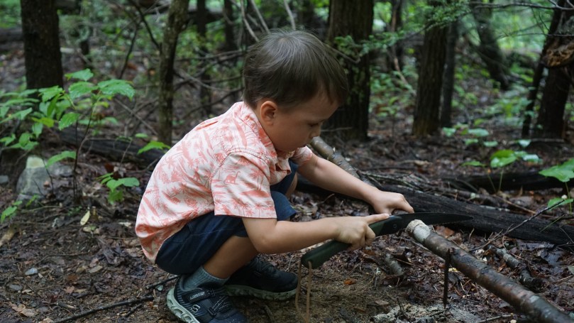
My youngest son (4 years old) has been begging to go on a canoe camping trip ever since his older siblings were allowed to camp on Lake Moomaw in 2024. The time was now! We had a beautiful weekend coming up in June 2026, so we rallied the troops and recruited my parents and older brother. With 3 kids in tow, I wanted my son’s experience to be a little more accommodating than the back country of Lake Moomaw in the Allegheny highlands. The logical choice was Philpott Lake, near Martinsville, Virginia. My last time here was in 2017. I remember the lake being clear, and clean with easy to access facilities. For those interested in trying to learn how to canoe camp, I think Philpott Lake may be the best place. I made our reservation online and paid the $26 per day fee.
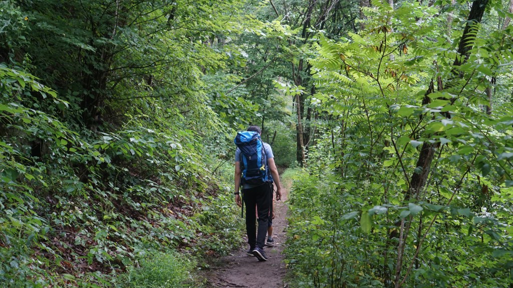
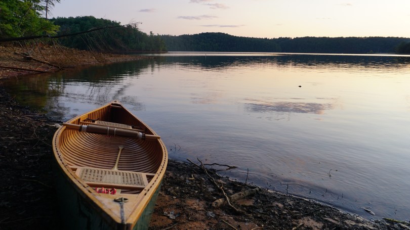
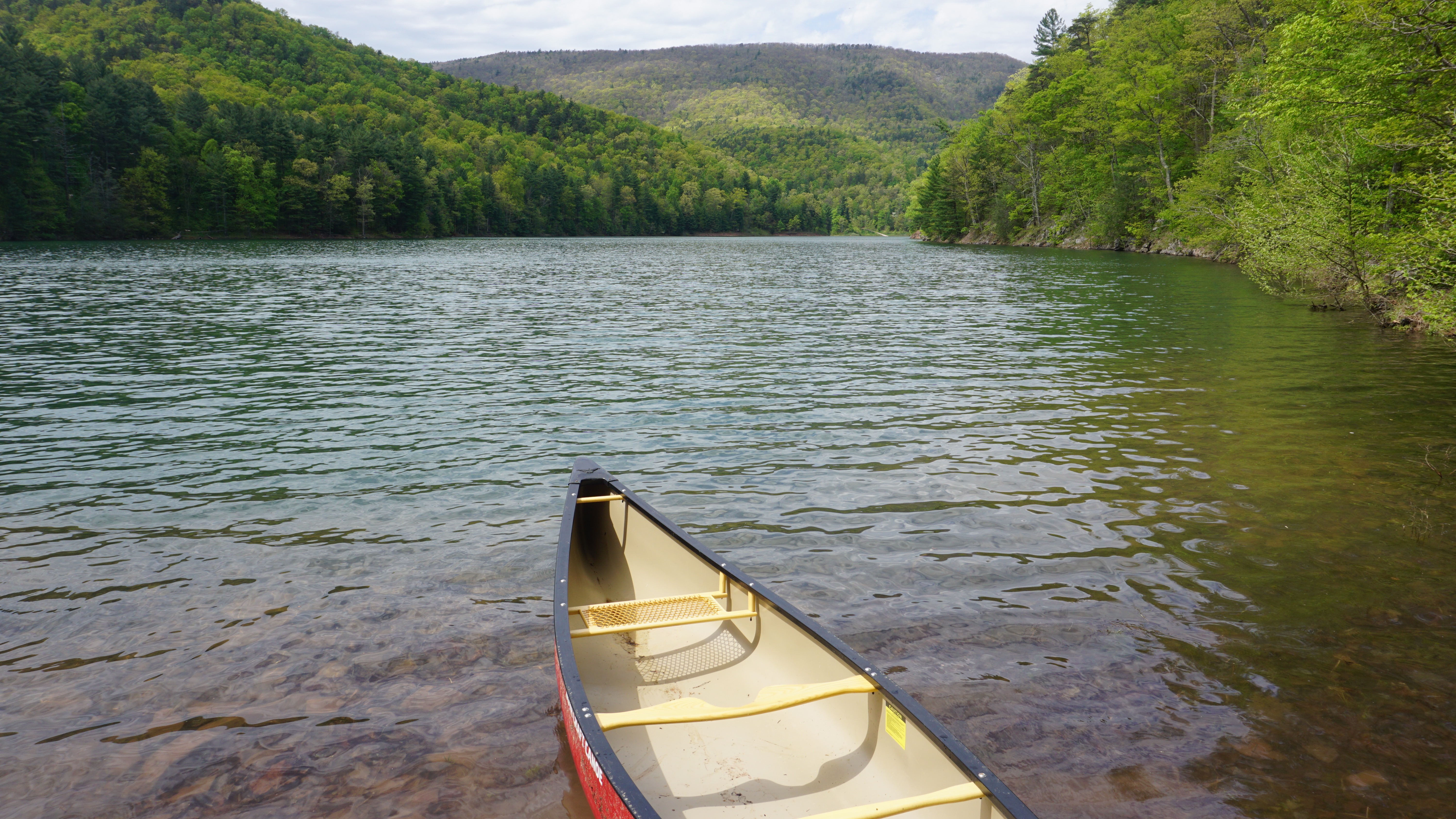
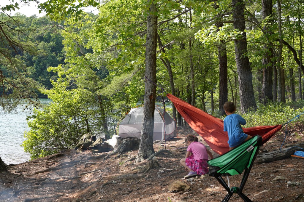
We would be camping on Deer Island in the South East section of the lake. There are 21 boat-in campsites on Deer Island as well as 2 clean portable toilets in the center of the island. The paddle to the island is less than 0.25miles. We picked campsite 20, facing the west. Philpott Lake is large, with numerous access points! So pick your access point ahead of time. To access Deer Island, we arrived at the Salt house branch access point. The park ranger recognized our reservation and we just parked our car next to the beach area. We loaded our gear and made the easy paddle to the island.

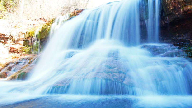
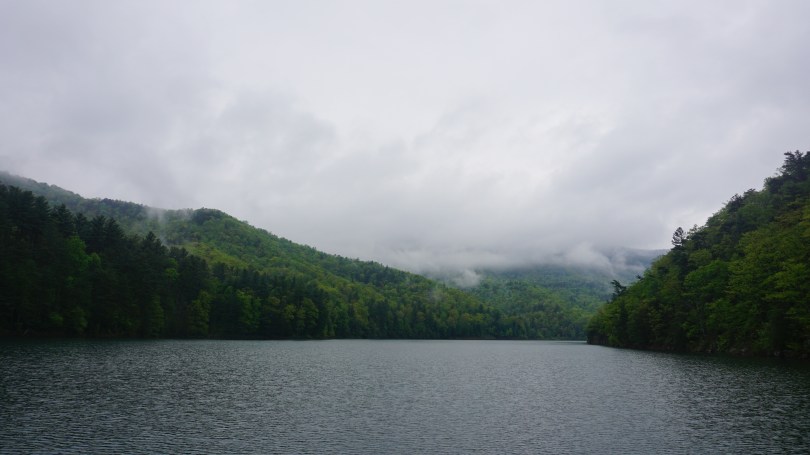
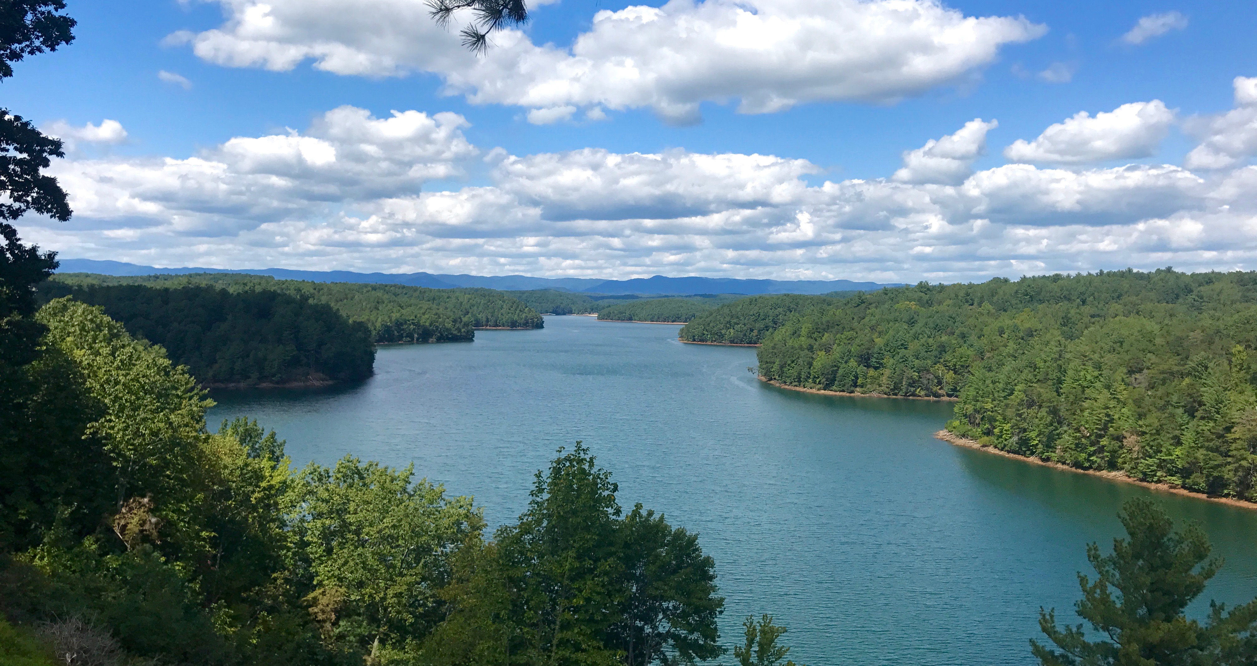
This massive 3000 acre reservoir spans across three counties (Henry, Franklin and Patrick counties) and was constructed by the U.S. Army Corps of Engineers (from 1948-1952) in order to help control flooding from the Smith River as well as generate hydroelectric energy and serve as a place for recreational activities.
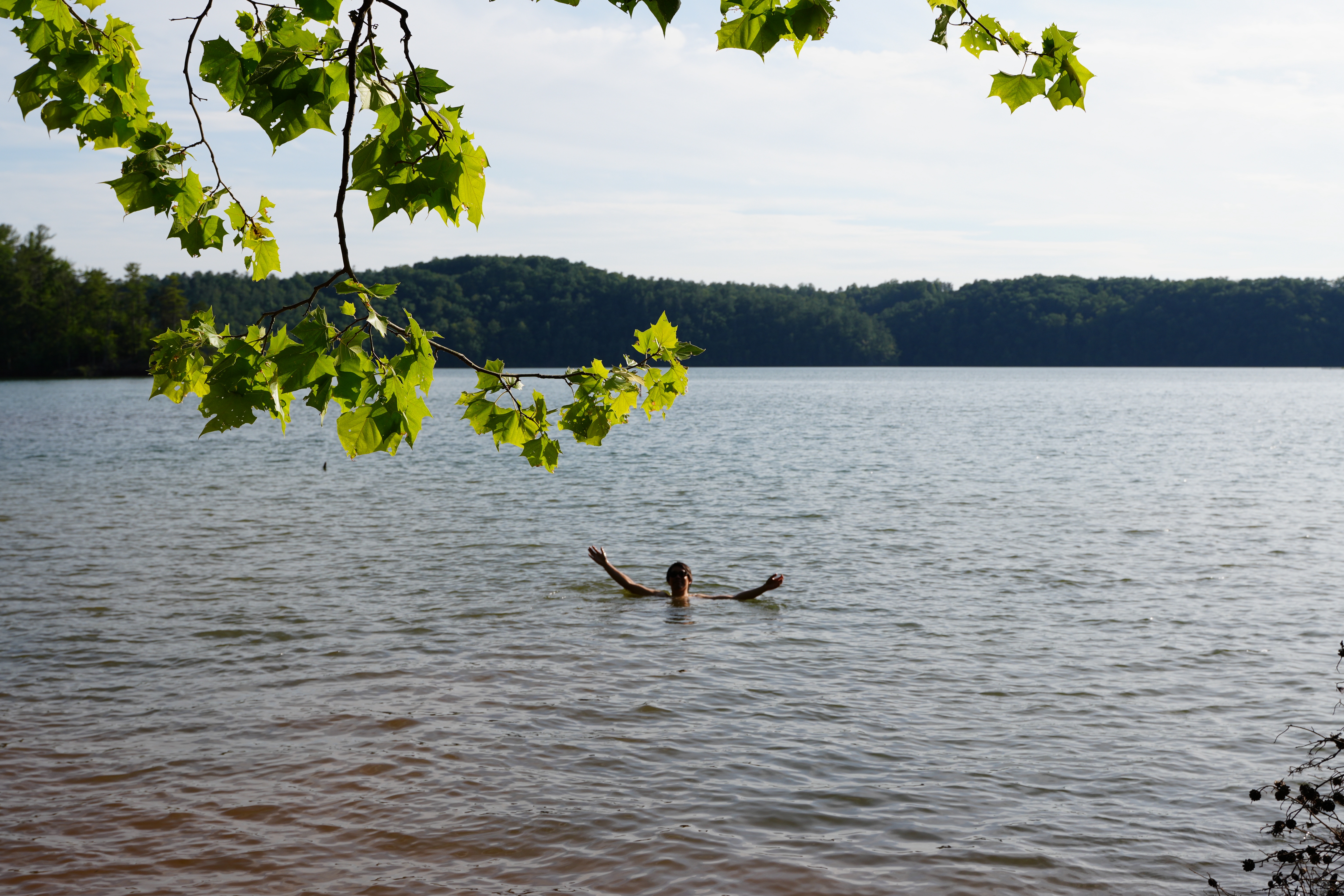

Not much has changed here since we have lasted visited. The park appeared well maintained and the park rangers seemed very helpful like last time. The water temperature was perfect and we spent our time recreating in the beautiful outdoors.
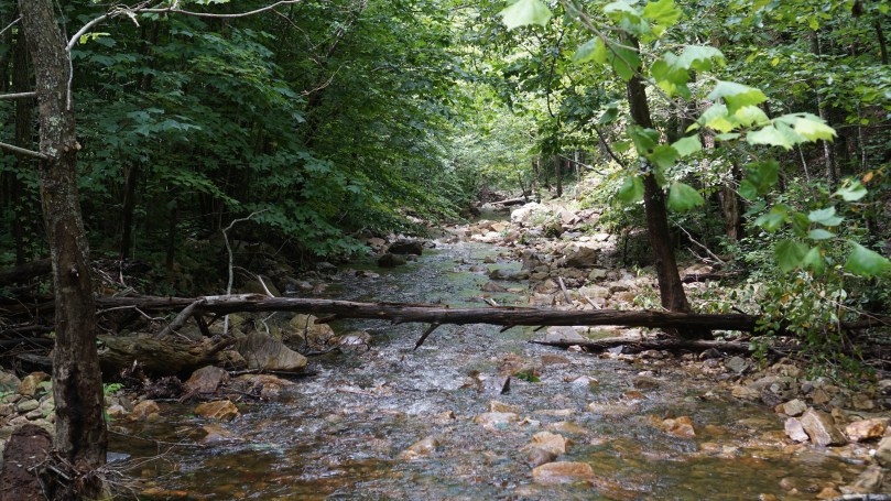
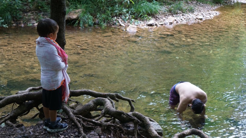
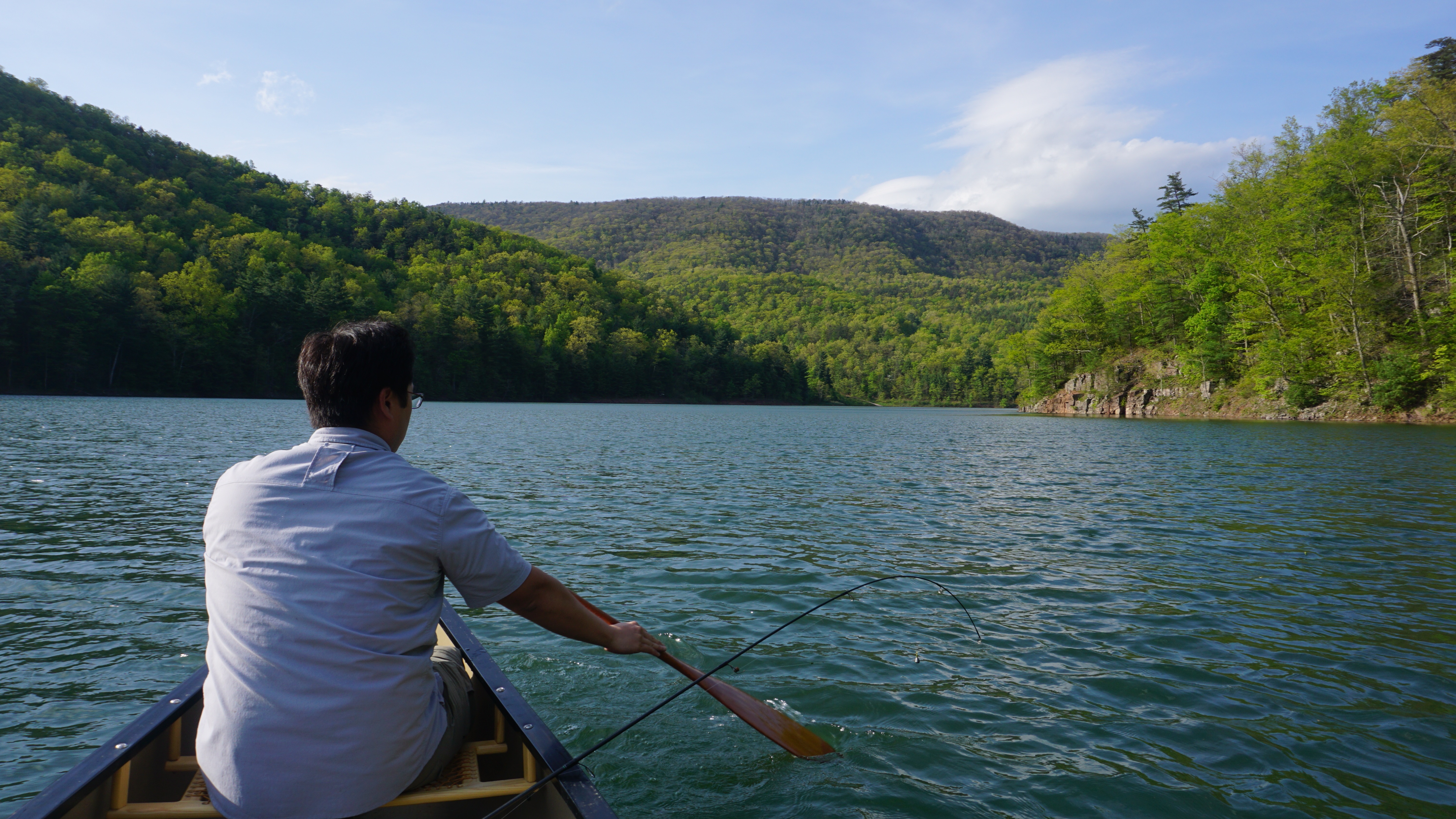
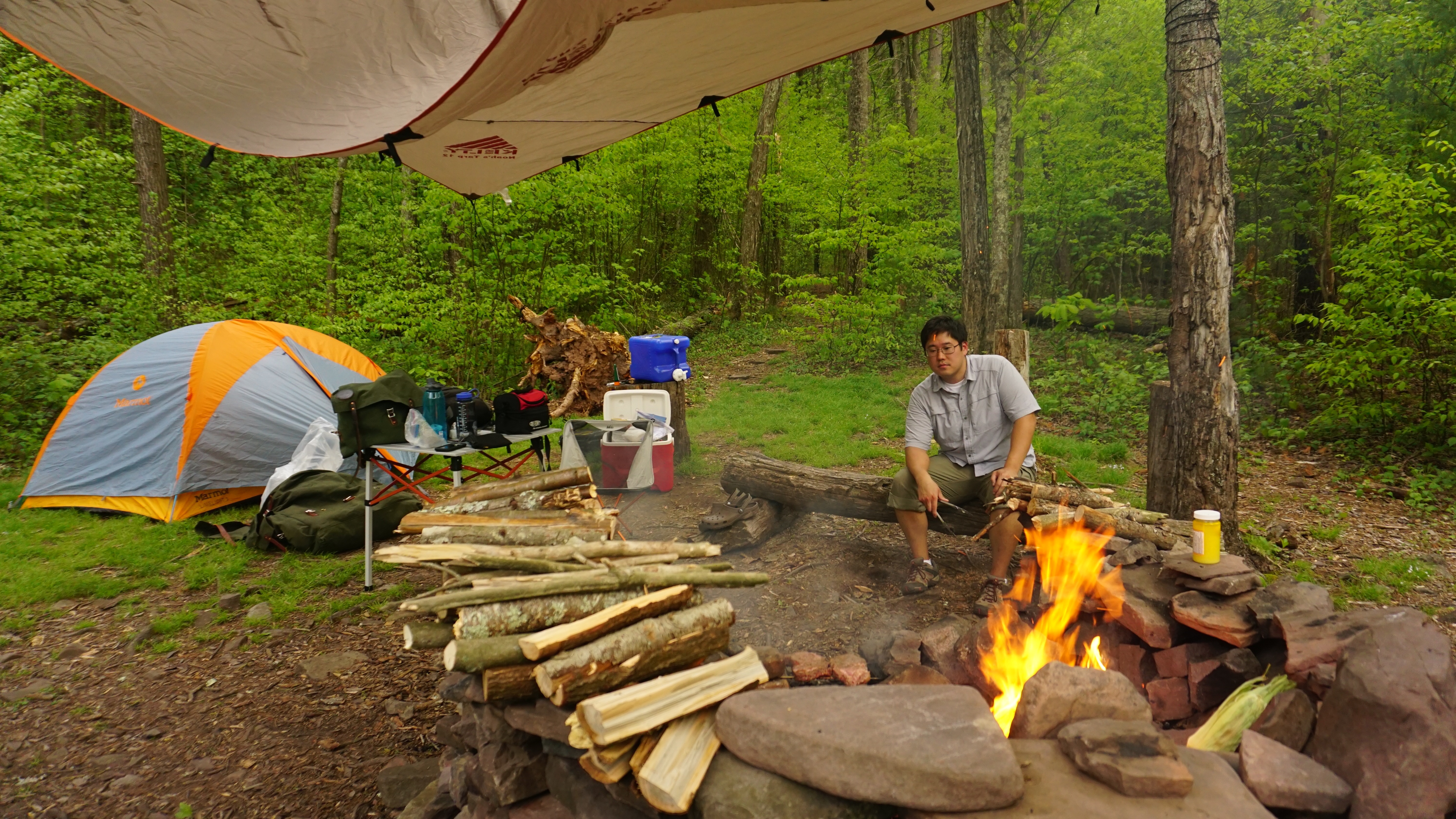
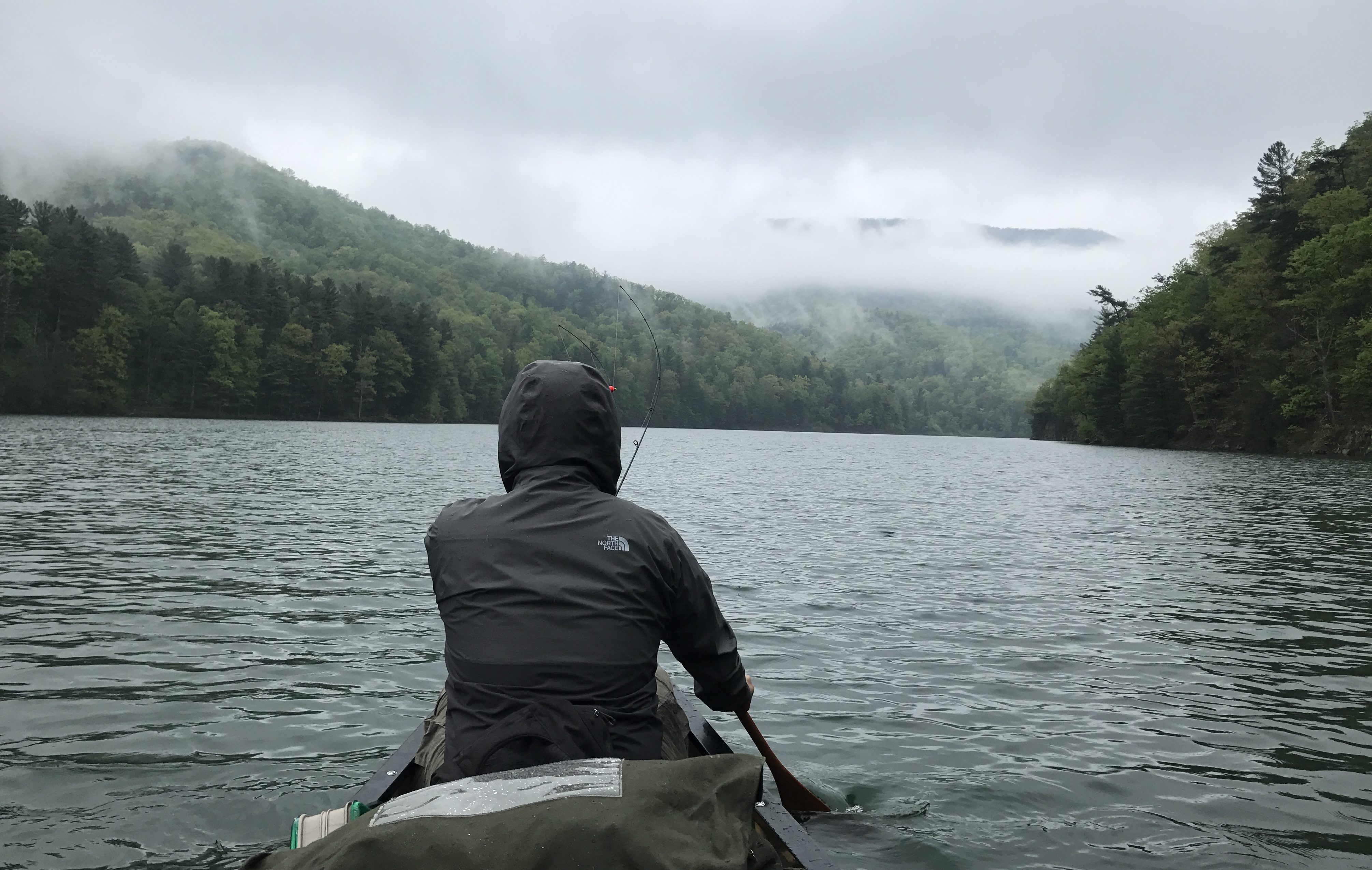
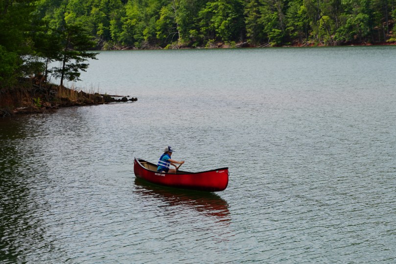
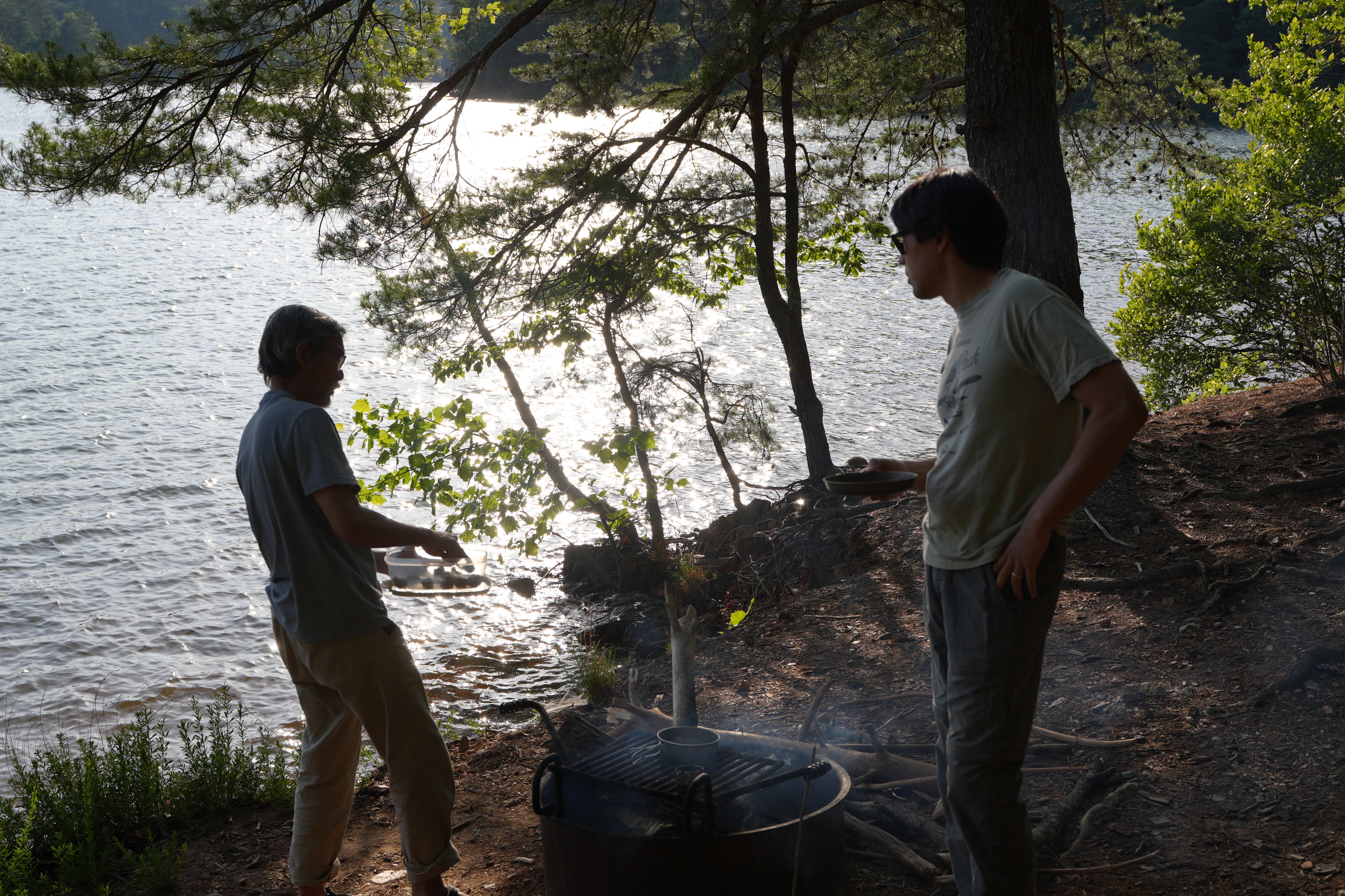
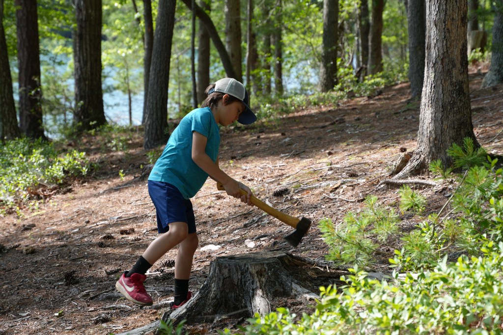
We had 3 tents and set them up at three different elevation levels on Deer Island. The kids enjoyed cooking by campfire, practicing their canoe paddle strokes and of course fishing. Philpott Lake is pretty massive, we wanted to paddle to Fairy Stone State Park to the east although it wasn’t in the cards for us.
The peaceful lake helped us usher in the summer season. We played until sunset, the kids roasted their marshmallows and watched the swallows dive right over the glassy water as they gracefully hunted for insects.
My son’s first canoe trip was a success. We were blessed with perfect weather, no rain and no bugs. He particularly loved sleeping in the tent and cooking by the fire. My older two kids also loved showing him all of the camp wonders. As we made the easy drive home, I looked in the rear view mirror at him as he asked: “Can we go again, for a week next time?” – I think he’s hooked.
*As always, for all visitors and campers, please remember to pack out whatever you bring in. Please keep this beautiful lake clean for all to enjoy and for future generations to come.