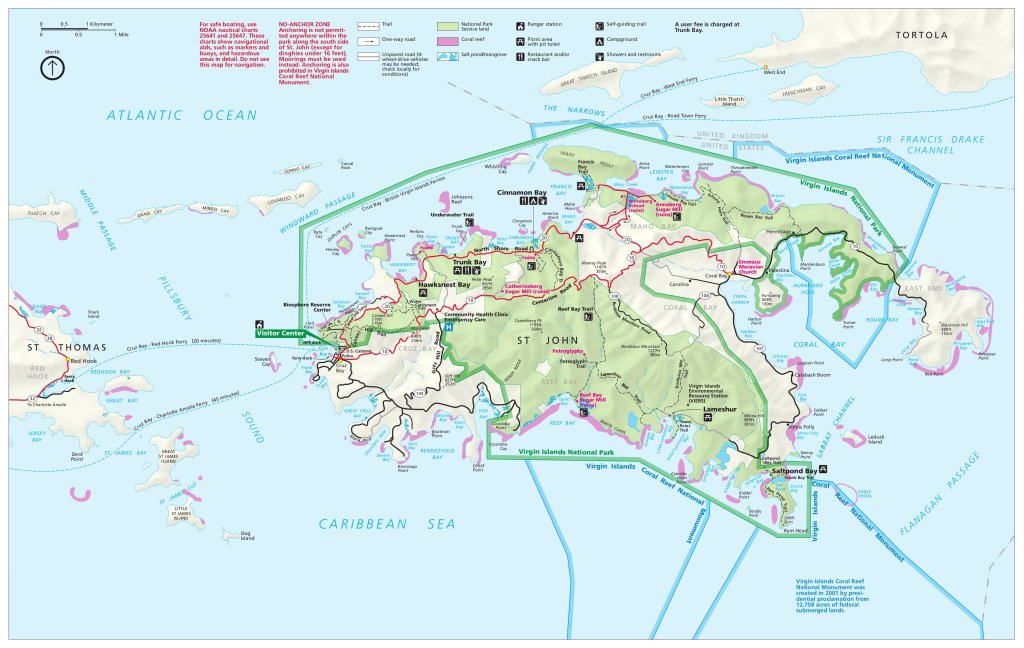
Of all 63 national parks of the United States, Virgin Islands National Park is one of the most remote. Located on Saint John, an island in the Caribbean Sea, Virgin Islands National Park covers nearly 15,000 acres of lush tropical forests, white sand beaches, mesmorizing snorkeling and a thriving wildlife scene. The national park covers approximately 60% of the island of Saint John and is protected under the national parks system.
Our last big trip to a national park was years ago when we took on Utah’s Mighty 5 National Parks. Six years and two more kids later, we felt like we finally had the gumption to go on another big adventure.
In the last week of March we embarked on two flights and arrived in Charlotte Amalie, the capital of the Virgin Islands on St. Thomas Island.
From here we took a ferry across the Pillsbury Sound to reach St. John. Upon arrival, the warm and humid air hits you in a pleasant way after a long winter. Colorful homes are situated in all layers of the island, giving you a sense of the mountainous terrain to be traveled ahead. Influenced by its Danish colonial background, the cars drive on the left hand side of the road. The people are nice and the bugs are out at night. We made it. We stayed in the Cruz Bay area, where several local markets, made it easy to get food and supplies for the week.
As beautiful as the islands are, the Virgin islands bear a dark history of Danish colonialism. In the 1600s, Denmark fought and cliamed St. Thomas and St. John for its West Indies colony. Their plan was to grow cotton and sugar, powered by a labor force of indentured Europeans. This proved to be not viable, based on supply and demand. Supplied by a Danish fort in Ghana, slaves were sold to the Virgin island colonies. Over the 200 years, 85,000 slaves were sent to the Virgin islands.
After years of rebellion and reckoning, the United States purchased the Danish West Indies after world war 1 in 1917. The Virgin Islands National Park was established in 1956.
In the last week of March, the weather in the Virgin Islands was sunny, with lows of 78 degrees high of 81 degrees. We explored mostly the northern end of Virgin Islands National Park.
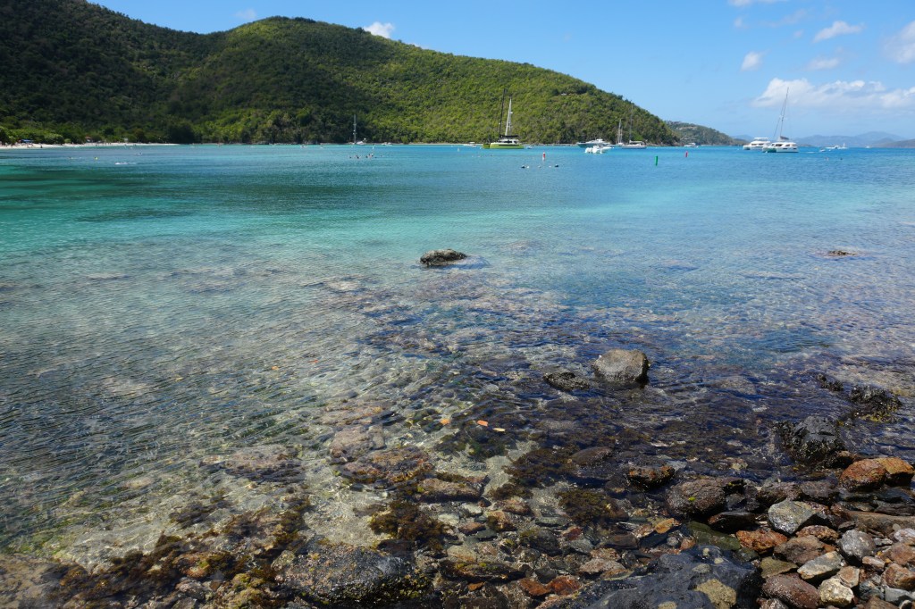
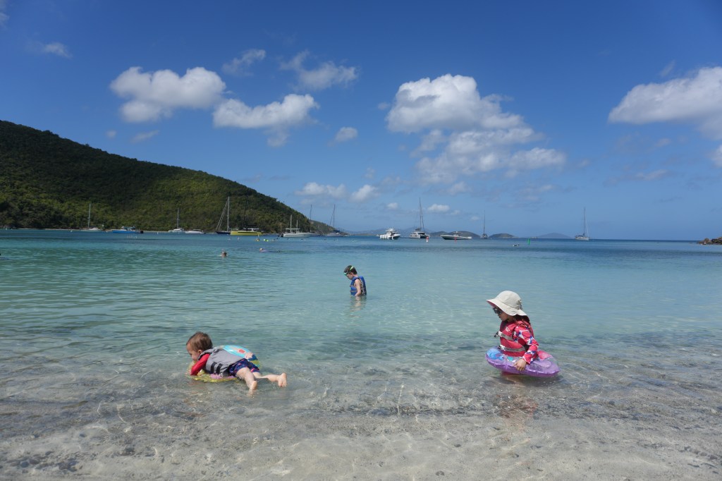
Day 1 – Maho Bay – North Shore
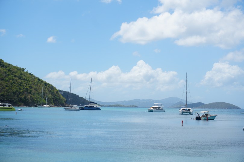
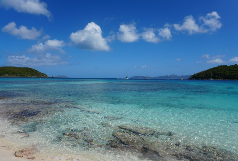
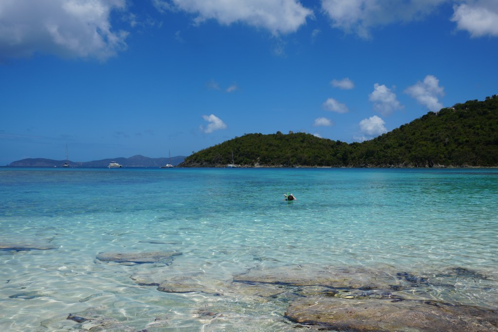
Maho beach features 0.3 miles of white sandy beach, and is known for its larger areas of seagrass, attracting sea turtles. The calmer waters of Maho bay make it a popular destination for families. There are several food and drink vendors across the street offering snorkel gear and kayaks. This spot was a good introduction to the national park, it showed us what was in store for the rest of the island.
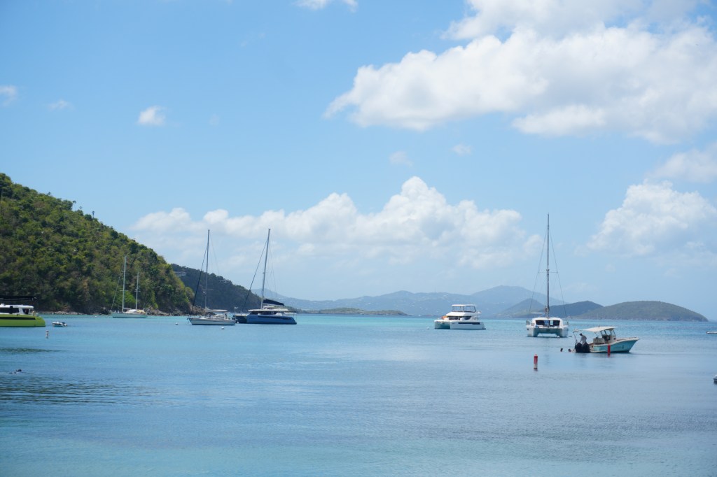
Day 2 Hawks Nest Bay
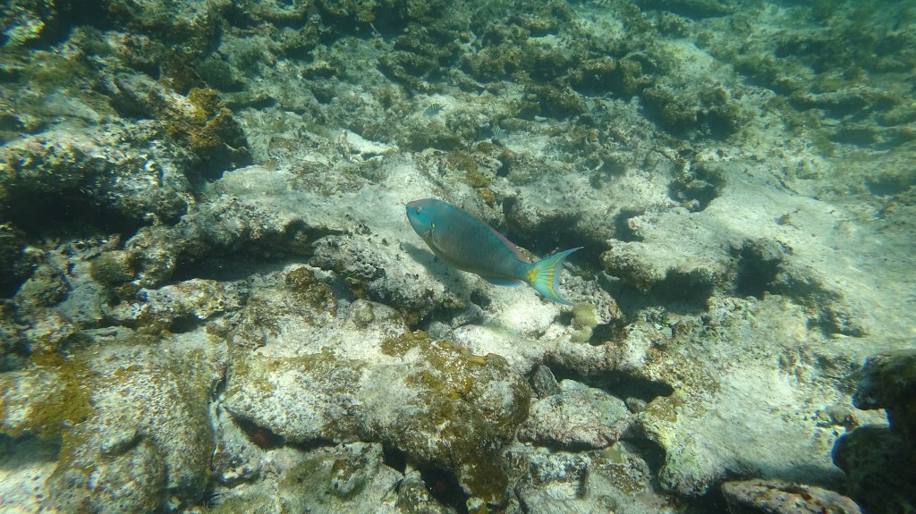
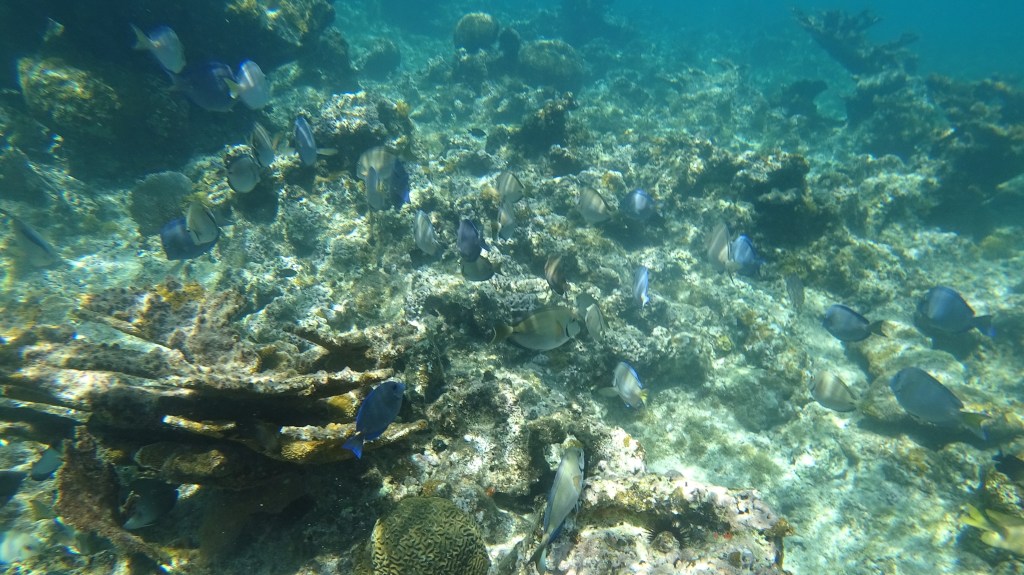
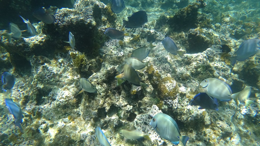
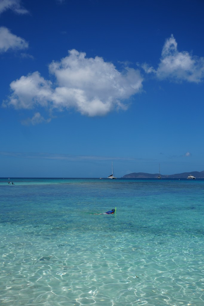
Hawks Nest Bay was one of our favorite spots. It is one of the closest access points to the entrance which led me to believe that it would be crowded. Surprisngly, it turned out to be a very peaceful spot with excellent snorkeling. The stretch of beach was also home to many small hermit crabs that scuttled around. Hawks nest was where I was able to first begin to understand the rich wildlife and amazing network of the coral reefs.
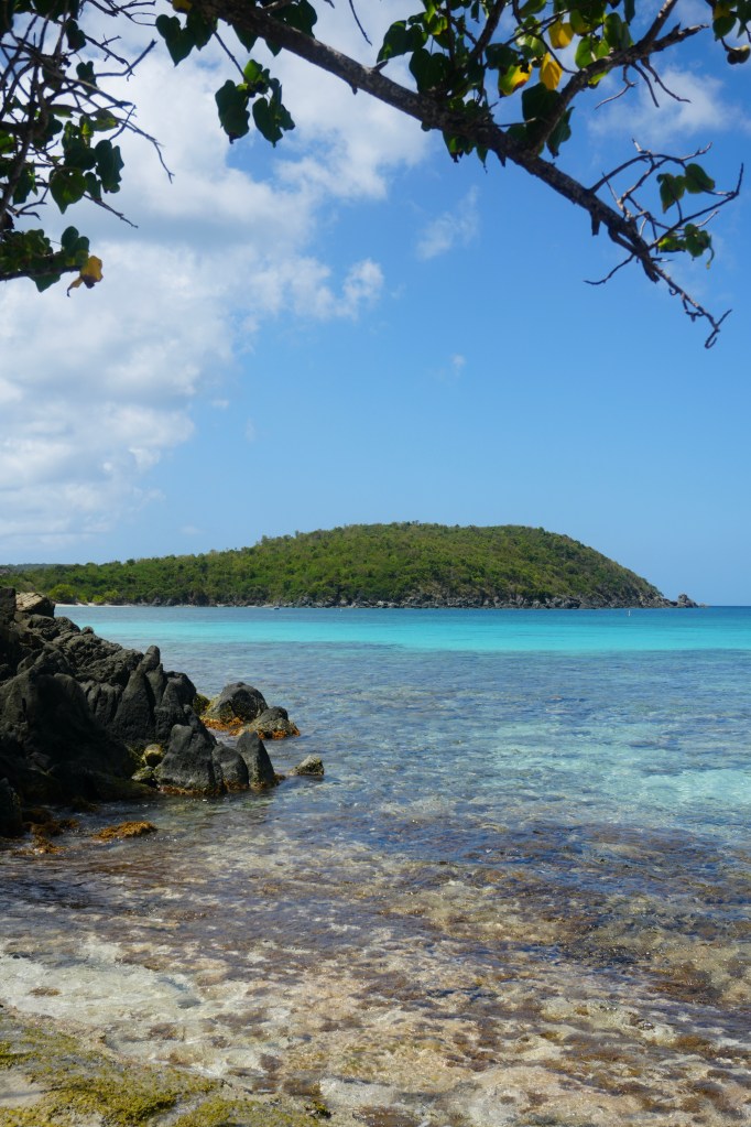
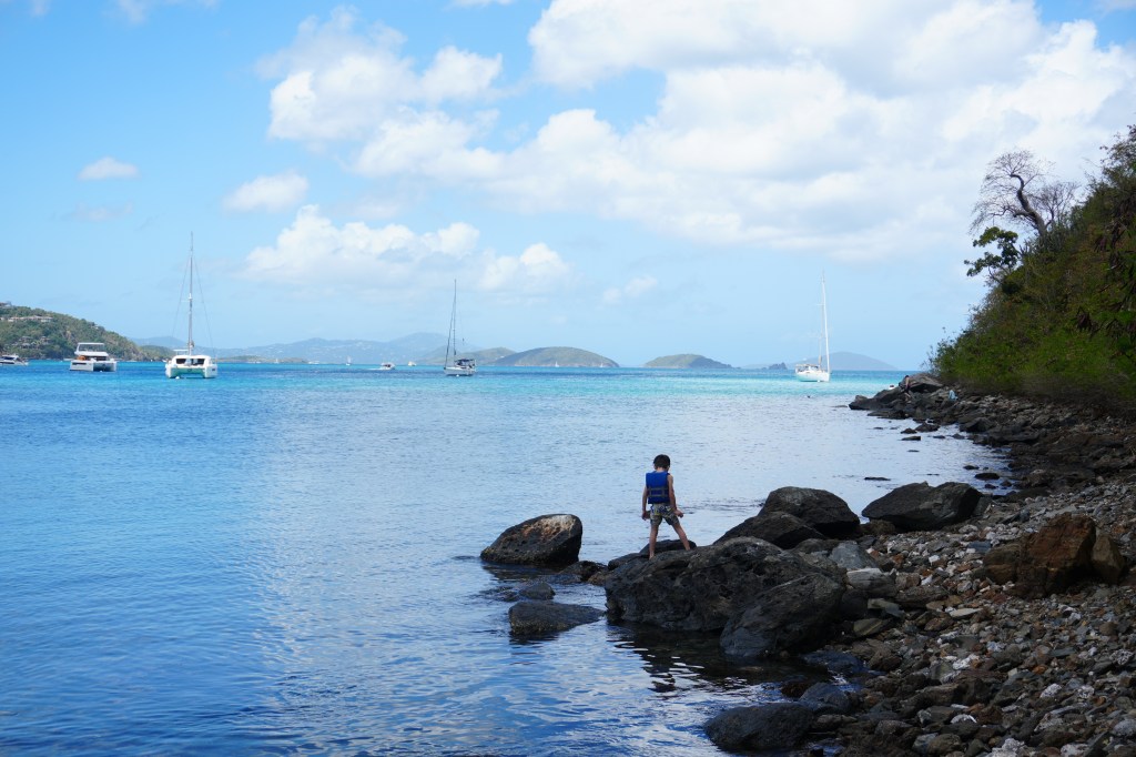
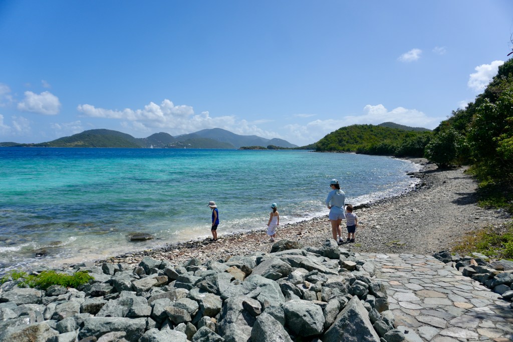
Day 3 Hike to Waterlemon Cay (Leinster Bat Trail) – high 82, low 77 occasional showers
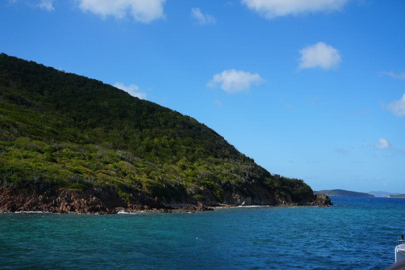
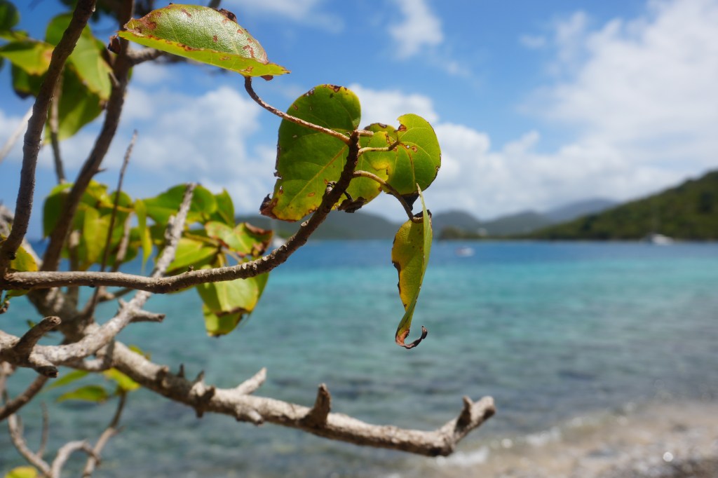
With a forecast predicting heavy showers throughout the day, we decided to venture out to the waterlemon cay to bay hiked the Leinster Bay trail. This was an easy 0.8 mile flat hike along the coast. It is one of the few flat hikes in the national park and perfect for little kids as well. This hike takes you through some shady areas, with beautiful flowers, and wildlife along the way. The hike along the coast certainly makes you feel small as we gazed out to the vast sea. The pelicans, sea turtles and hermit crabs were all out to play. Most people hike the Leinster Bay Trail to get access to Waterlemon Cay (boasting some of the best snorkeling on St. John.)
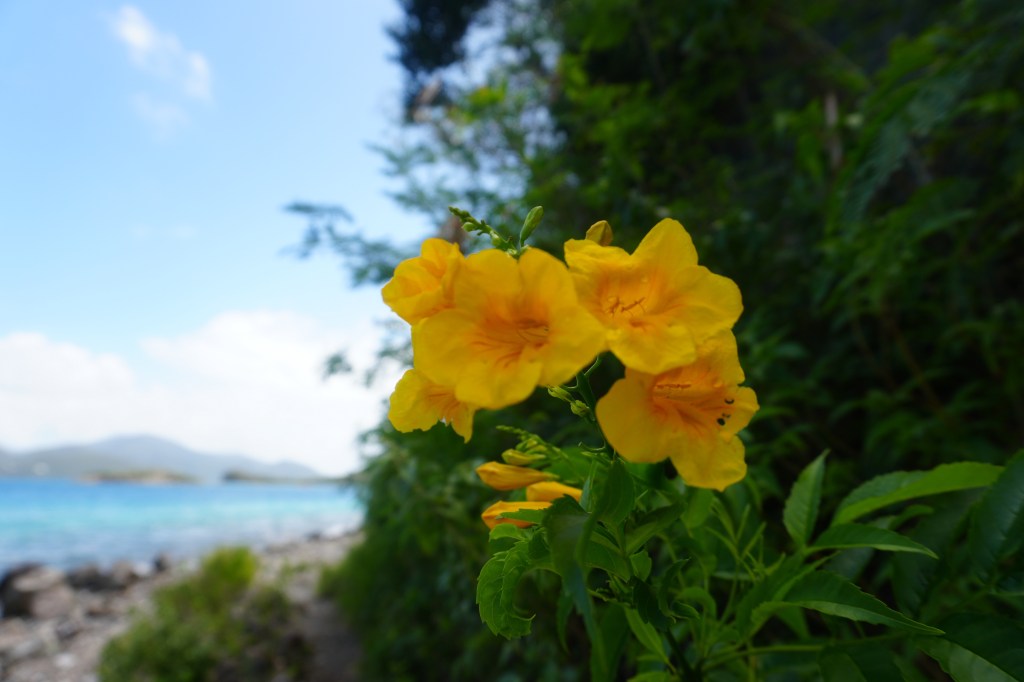
Pictured above: The yellow flower of Tecoma Stans (aka: Ginger Thomas, Yellow Elder) is the official flower of the US Virgin Islands. Interestingly, it is not a native flower, however the species has been highly successful in the caribbean.
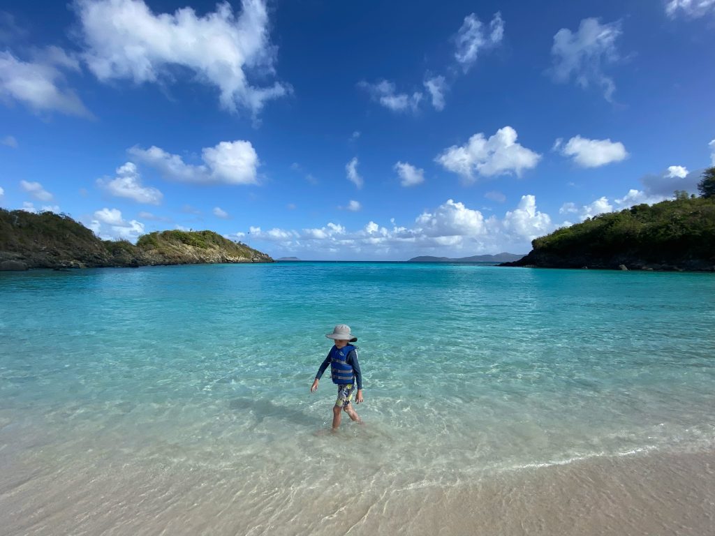
Day 4 – Trunk Bay – High 81F, low 77F windy
Probably one of the busiest beaches in the beach, Trunk Bay is known for it’s snorkeling and an underwater snorkel trail. With a larger opening to the sea, the water was choppier here and it looked like good generate enough swells for some surfers on certain days. This area of the park had plenty of food, drink, rentals chairs, and sports equipment for rent.
We live on such a beautiful planet, and Virgin Islands National Park is a prime example of that beauty. Please remember to respect the land, water and reefs when you pay a visit to this spectacular national park.